

Hi Target Multi BEAM W/ Transducer MARINE ECHO SOUNDER WITH GPS
- Category: >>>
- Supplier: Shenzhen Pengjin Technology Co. Ltd.
Share on (1047088660):
Product Overview
Description
Product Description
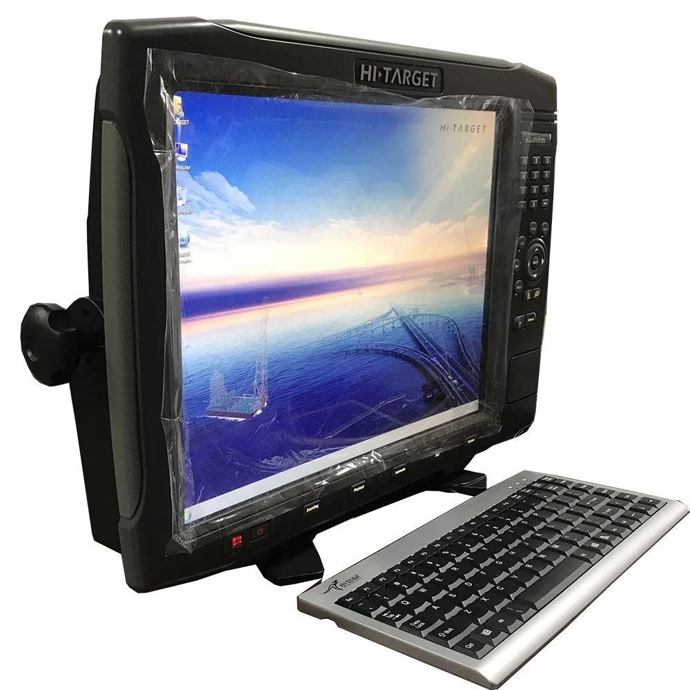
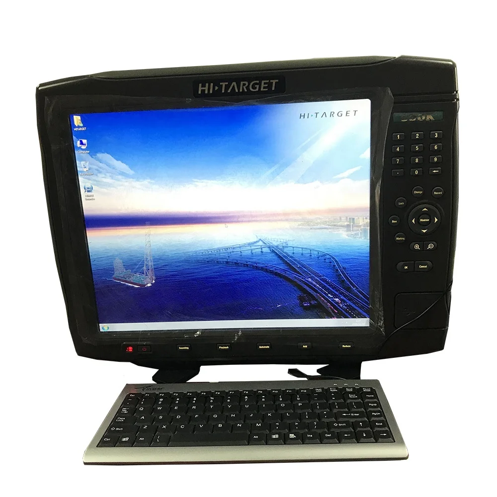
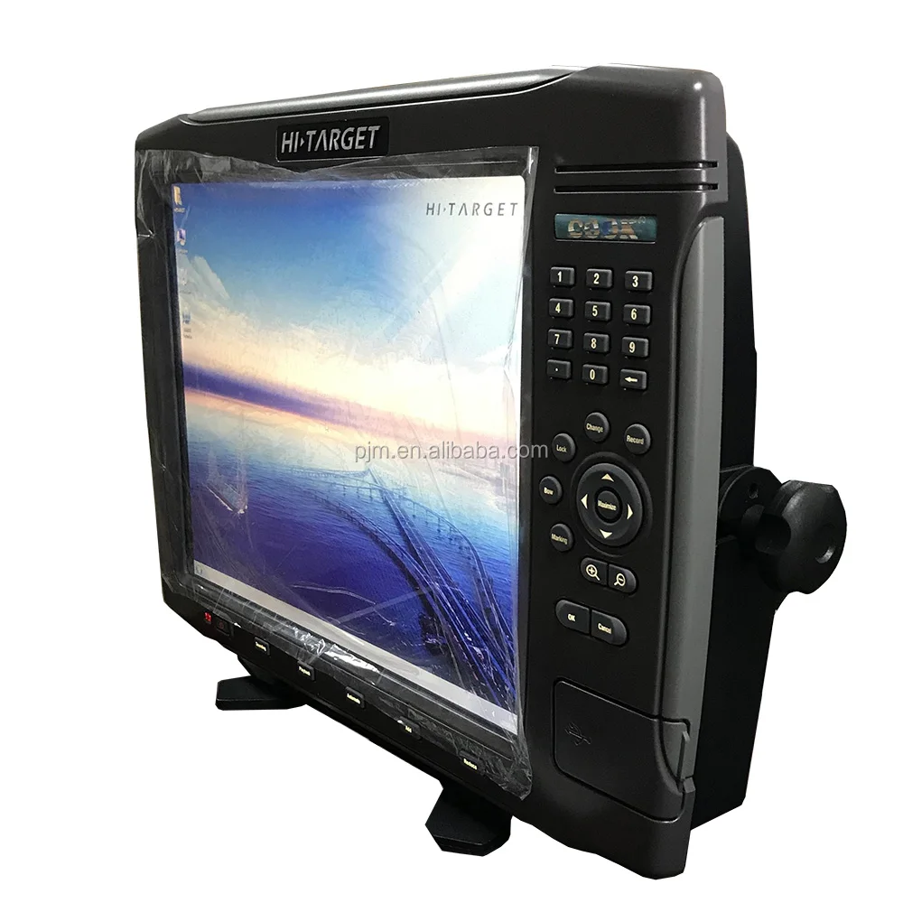
Hi-Target Multi BEAM W/ Transducer MARINE ECHO SOUNDER WITH GPS
HD-MAX is a full-digit ech sounder for precision measurement in hydrology, reconnaissance, fairway, wharf dredge and so on. Featuring a 17 inch large-size screen, industrial computer platform, and preinstalled marine surveying software, HD-MAX is designed for efficient, high-speed sounding performance, and provides an excellent solution for a marine surveying and mapping.


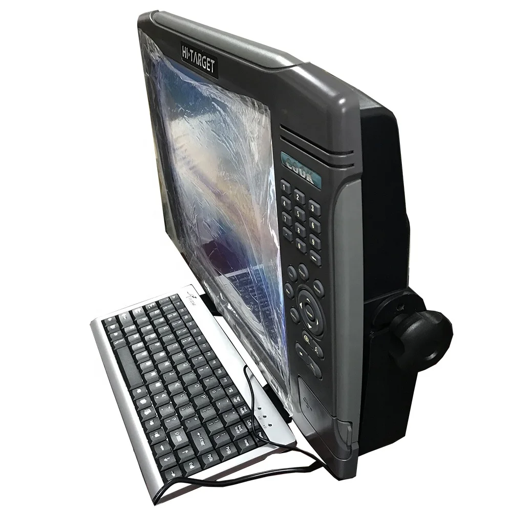
Freidly Design
- Multiple shortcut buttons ensure convenient field operation
- Supports multi-screen display with VGA;
- Adjustable screen display angle;
Optimized Sounding Technology
- Advanced signal tracking gate technology;
- Sampling rate up to 30Hz;
- Optimized TVG curve delivers improved sounding performance;
- Upgrading data processing framework to adapts to a more complex terrain environment;
- Easy to record and replay analog signals and water depth information;
Compatibility and Development
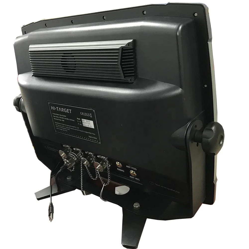
- Supports other devices such as GNSS receivers, attitude indicators, sound velocimeters and electric gyrocompasses and so on ;
- Optional built-in beacon module with precision up to 0.5 meters
Industrial Computer Platform
- 17'' large-size screen;
- 16GB SSD; One-key reset functions;
- Waterproof , rugged and durable with high strength polyethylene plastic sheel;
Hi-Max sounder
- Powerful and Robust Marine Surveying software
- Data Compatibility and Security
- Supports NMEA-0183 data
- Supports multi sensor data input, such as attitude indicatior, sound velocimenter and electric gyrocompass
- Supports transmitting water depth data to 3rd-party software such as HYPACK;
- Encrypts orginal echo data to prevent malicious tampering
Powerful Edit Function
- Supports manual operation and software calculations to modify GPS delay
- User can manually input, output or edit plan line and mark (points,line and surface)
- Supports import and export of DXF format plan line and background iamge;
Friendly Post-processing Function
- Corrects false echo signal by comparing echo graph with data curve of water depth;
- Manually add depth sampling point to meet the demands of spedal feature point extraction;
- Supports single tidal sation, dual tidal station and triple tidal station corrections;
| HD-MAX ECHO SOUNDER SPECS | ||
| Industrial Computer | CPU | Dual-core 1.6Ghz |
| Memory | 2GB | |
| Display resolution | 17 inches, 1280*1024 | |
| Operation system | windows XP | |
| Storage | 16GB SSD | |
| USB port | 3*usb 2.0 | |
| Serial port | 2*RS232 | |
| VGA port | 1280*1024@60HZ | |
| Power supply | 10-30V DC OR 220V AC | |
| Average power consumption | <30W | |
| Working temperature | -20℃ to 50℃ | |
| Weight | 9.5kg | |
| Dimension | 480x360x110mm | |
| Sounding Features | Working frequency | 200KHz |
| Maximum transmitted power | 500W | |
| Sounding range | 0.2m to 600m | |
| Sounding accuracy | ±10mm+0.1%h at 1cm resolution | |
| Draft adjusting range | 0.0m to 15m | |
| Sound velocity adjusting range | 1370-1700m/s, 1m/s resolution | |
| GPS Module (Optional) | Maximum sampling rate | 30Hz |
| Channel | 14 | |
| Singal | gps+Beacon | |
| Accuracy | 0.5m | |

OTHER HOT SELLING ECHO SOUNDER WITH GPS;


Hot Sale

Company Information


We Recommend


New Arrivals
New products from manufacturers at wholesale prices


