

 12E GPS RTK VTOL UAV Drone Pour Topographie Flight Controller Aerial Survey landing Fixed Wing Mapping Extra long range
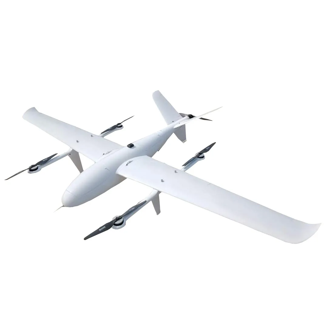
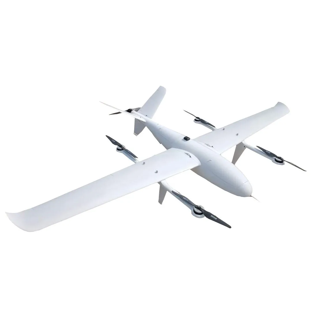
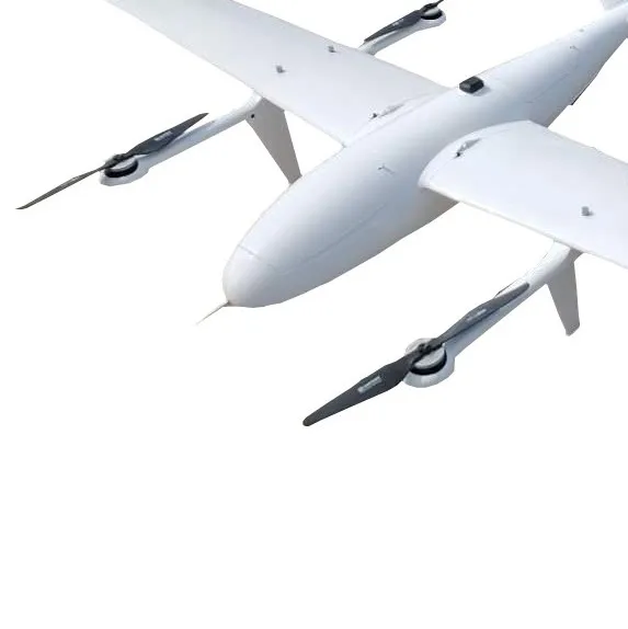
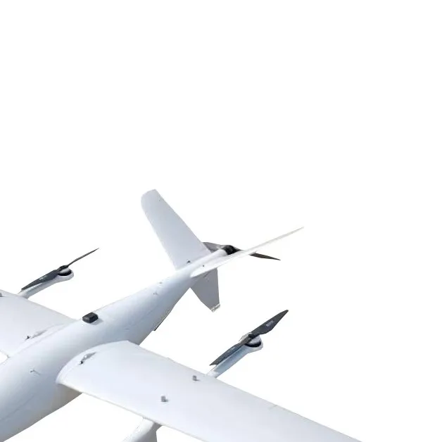
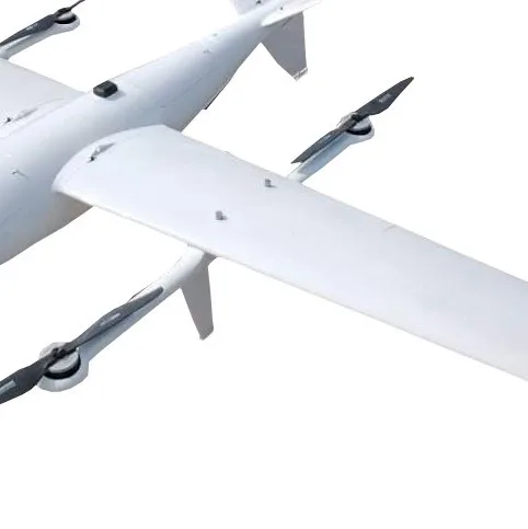
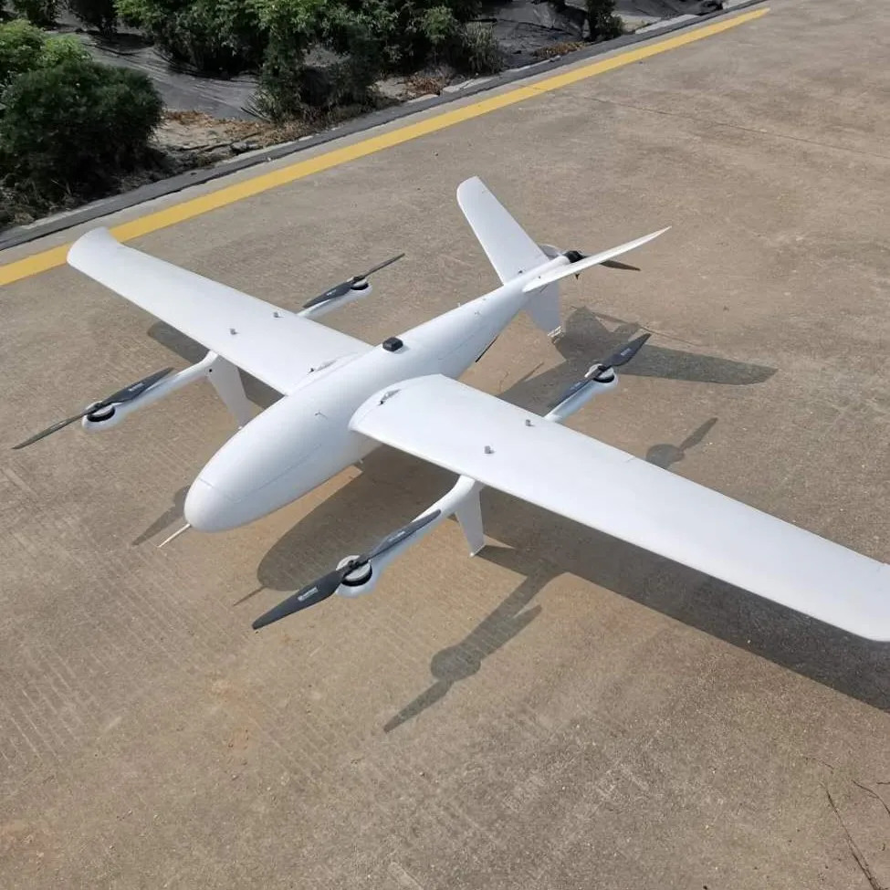
13E GPS RTK VTOL UAV Drone Pour Topographie Flight Controller Aerial Survey landing Fixed Wing Mapping Extra long range
- Category: >>>
- Supplier: Shenyang Linghang Aviation Science& Technology Co. Ltd.
Share on (1600243770922):
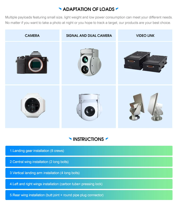
Product Overview
Description
12E GPS RTK VTOL UAV Drone Pour Topographie Flight Controller Aerial Survey landing Fixed Wing Mapping Extra long range
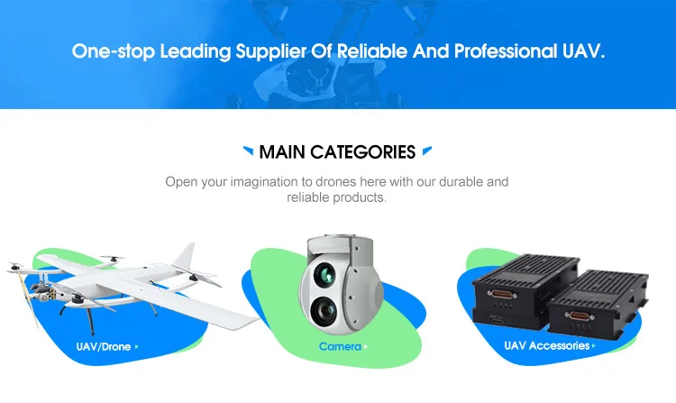
Main Categories
Product Description


Description | Specification |
length | 1.26m |
wingspan | 2.5m |
MTOW | 13.5kg |
Max payload | 2.2kgs |
Flight duration | 10min@ 1.2kgs payload |
Max speed | 80kms |
Max control Distance | Remote control(manual):1km Ground station (data link):30km |
radius | 10km |
Cruising speed | 70-90km/h |
Altitude | 4000m |
Max wind resistance | 12m/s(6 degree) |
Temperature | -10℃+45℃; light rain proof |
Battery | 2*25000mAh(6S) |
Flight controller | Pixhawk |
UAV transit box | 128×50×50cm |
About Us
We Recommend


New Arrivals
New products from manufacturers at wholesale prices


