
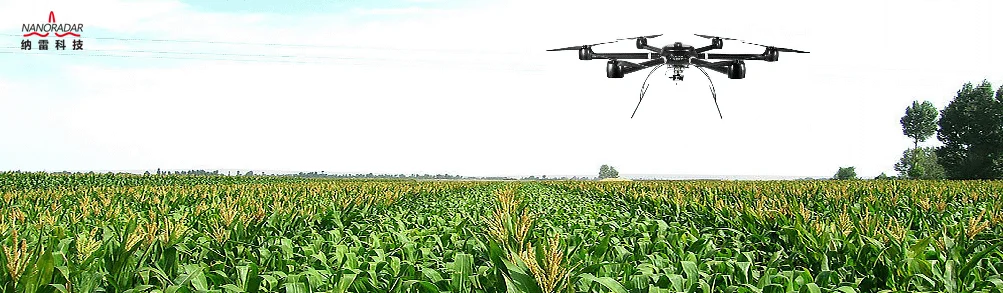
200m Long distance UAV Altimeter Radar Sensor
- Category: >>>
- Supplier: Hunan Nanoradar Science And Technology Co. Ltd.
Share on (1600492394901):
Product Overview
Description
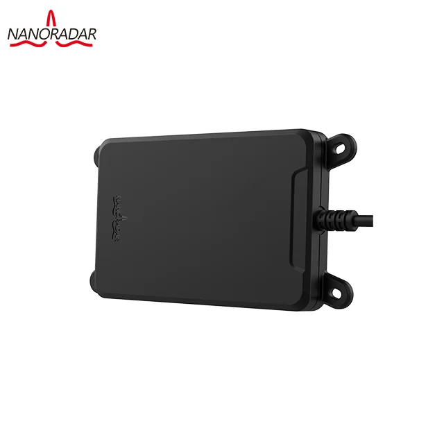
200m Long distance UAV Altimeter Radar Sensor
24GHz Alimeter Radar NRA24(200m)
Drone Terrain Following Sensor
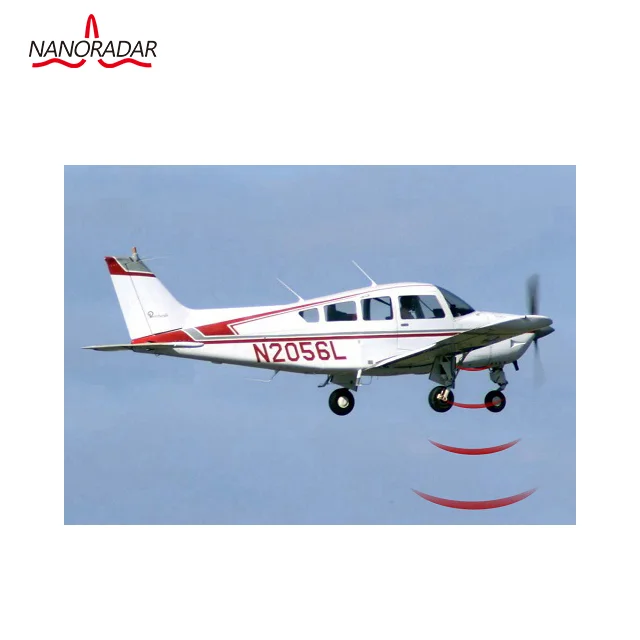
NRA24 is a compact K-band radar altimeter developed by Hunan Nanoradar Science and Technology Co., Ltd. It adopts 24GHz-ISM-Band, with the advantages of 2cm measuring accuracy, small size, high sensitivity, light weight, easy integration and stable performance, which satisfies the application requirements in unmanned aerial vehicle (UAV), helicopters, small airships and other field. Its product performance has been recognized by many partners.
Series:
24GHz MMW radar
Application:
Safety range measurement and collision avoidance in UAVs
Features:
Work in 24GHz-ISM-Band for the detection of moving targets
Adaptable for grasslands and other environment
With UART interface
With measurement accuracy of 2cm
With the measurement range of 50m
RoHS compliant
Specifications:
| PARAMETER | CONDITIONS | MIN | TYP | MAX | UNITS |
|---|---|---|---|---|---|
| System performance | |||||
| Transmit band | 24.00 | 24.20 | GHz | ||
| Output power(EIRP) | adjustable | 25 | dBm | ||
| Modulation type | FMCW | ||||
| Update rate | 50 | Hz | |||
| Power consumption | @5V DC 25℃ | 1.4 | 1.5 | 1.8 | W |
| Communication interface | UART | ||||
| Range-measuring performance | |||||
| Distance-measuring range | @0 dBsm | 0.5 | 200 | m | |
| Ranging accuracy | ±0.1 (0.5-30m) ±1 (30-100m) ±2 (100-200m) | m | |||
| Antenna features | |||||
| Beam width/TX | azimuth(-6dB) | 28 | deg | ||
| elevation(-6dB) | 18 | deg | |||
| Other characteristics | |||||
| Supply voltage | 5 | 12 | 20 | V DC | |
| Weight | includeing shell and Line | 95 | g | ||
| Outline dimensions | including shell | 130x70x14.5 (LxWxH) | mm | ||
Application in UAV altimeter
1) Accurate weight of UAVs/Challenges in terrain following
Complex terrain is a major obstacle to UAV flight. And the precise height and terrain tracking can ensure a stable flight and the successful fulfillment of mission. The altimeter can measure the distance between the UAV and the ground, and guide the UAV to stabilize the flight.
2) Difference between mmw radar altimeter and traditional altimeter
principle | Product | Height | Accuracy | Advantages | Disadvantages | |
GPS+ barometer | GPS | In UAVs with altitude measurement | 30000km over the ground | ±0.5m | Mature application; Low cost | Relative large error; Not suitable for plant protection UAVs |
Ultrasonic + light stream | TOF+ Vision | Most manufacturers | 0.3~10m | ±0.1m | High accuracy Low cost | Requiring abundant ground texture; Not suitable for plant protection UAVs |
Ultrasonic | TOF | Jinci Tech | 0.3~3m | ±0.1m | Low cost | Easy to penetrate the vegetation; The accuracy would be reduced due to the vegetation; With big error and high cost |
Laser | TOF | Laser range finder | <200m | ±0.02m | With higher accuracy in good measuring environment | The vegetation has poor laser reflection effect |
FMCW | NanoradarNRA24 | 50m | ±0.02m | High accuracy; Available at all weather and all day | Relative high cost |
Typical application example
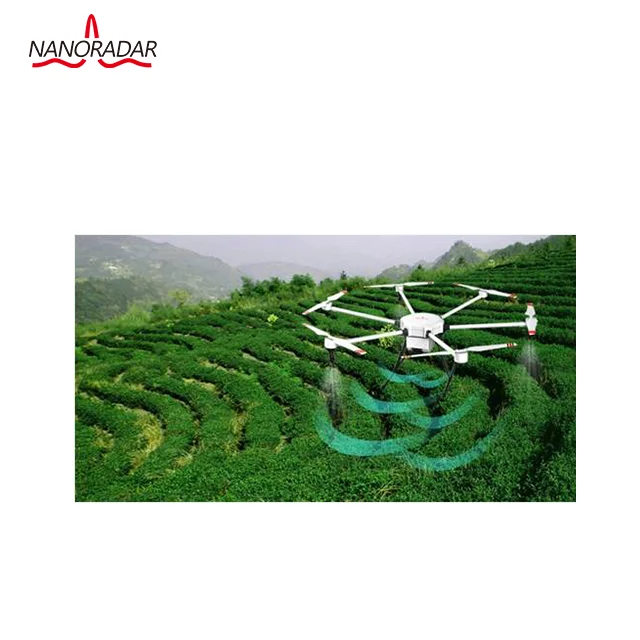
1) Altimeter in plant protection UAVs
Plant protection unmanned aerial vehicle can be remote controlled, to prevent spraying workers from exposure to pesticide, which could ensure the safety of spraying operations, and the efficient and fast operations save a lot of manpower and resources. Plant protection unmanned aerial vehicle is required to maintain a minimum fixed height of 1 ~ 2m from the crops, without restrictions on terrain and height. According to the terrain, it could automatically set the height, and avoid the obstacles automatically by adjusting the height. Moreover it has a high requirement if measurement accuracy (height error does not exceed ± 10cm), to meet the pesticide spraying in the appropriate distance, to achieve uniform and efficient spray.
Traditional plant protection drones utilized ultrasonic as an altimeter. As the ultrasonic frequency is generally around 40 KHz ~ 45 KHz, it is easy to penetrate the vegetation, and is close to the frequency of the surrounding environment, the ultrasonic altimeter is not suitable for deep forests, arable land and other vegetation covering terrain. Besides, the effect range of Ultrasonic altimeter distance is generally less than 5m, therefore it is difficult to meet the actual terrain demand.
TNRA24 is an altimeter specially designed for plant protection UAVs. With its flexible installation position, it is suitable for all types of UAV platforms. It can accurately sense the height of UAVs and vegetation, and transmit the UAV data to UAV flight control system through UART serial port, to achieve and maintain the flight in the appropriate altitude to vegetation, as shown below.
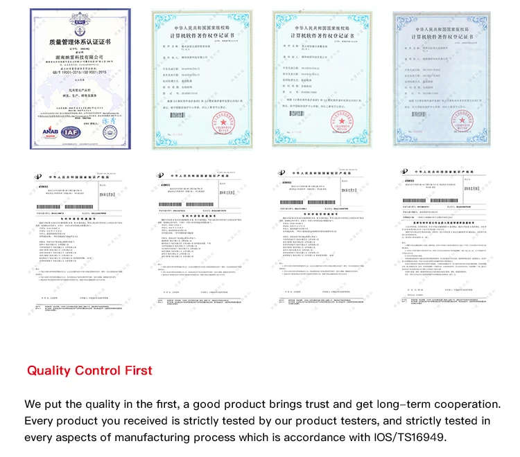
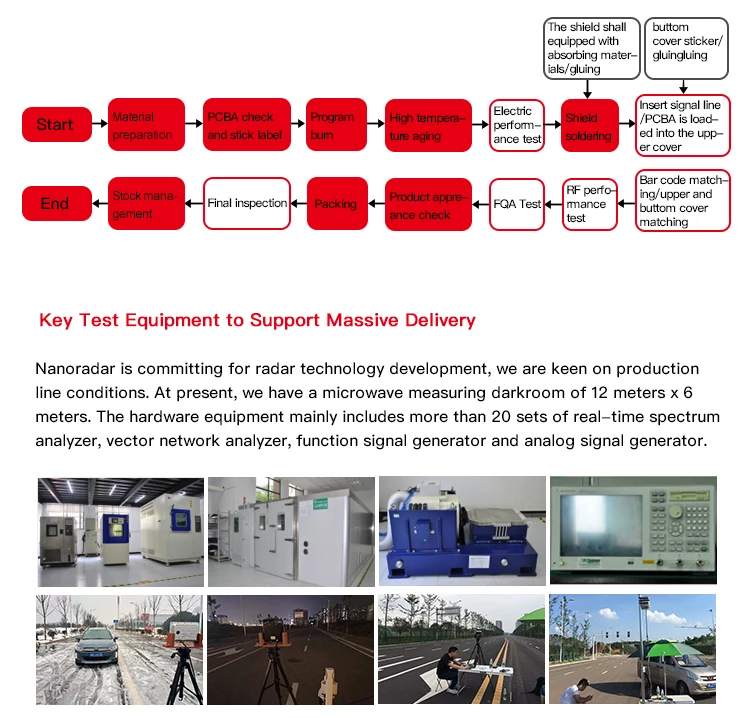
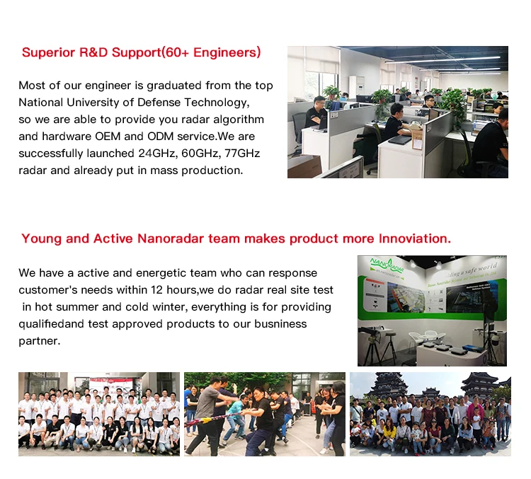
About Nanoradar

FAQ:
1. Is the quote on Ali real?
-No, you can contact with us, we will send you the product details and quotation.
2. Where is the installation location?
-Usually installed below the aircraft for level height measurement.
3. Which interface it has?
-it has 2 interfances, CAN and UART. But it can't support at the same time.
4. Does it need an addition cooling radiator?
-No need.
5. How long is the warranty period?
-1 year free maintainence except human damage.
6. what is the difference between NRA24(50m) and NRA24(200m)
-The difference between NRA24-50m and 200m is range accuracy.
NRA24-50m range accuracy is ±0.02(0.1-50m).
NRA24-200m range accuracy is ±0.1(0.5-30m); ±1(30-100m); ±2(100-200m);
7.what is the difference with the other UAV radar(NRA15/MR72)
NRA24: 24GHz Alimeter Radar (0.1~50m/0.5~200m,more accurate )
NRA15: 24GHz Alimeter Radar (0.1~30m,more cheaper)
MR72: 77GHZ Collision Avoidance Radar(0.1~40m)
If you have any qustions, feel free to contact with me.
We Recommend


New Arrivals
New products from manufacturers at wholesale prices


