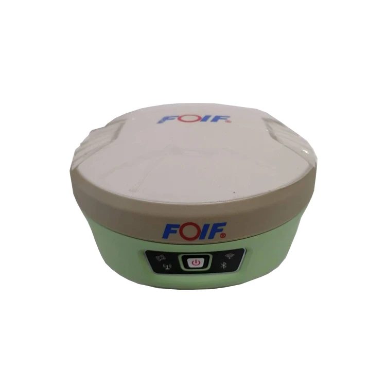
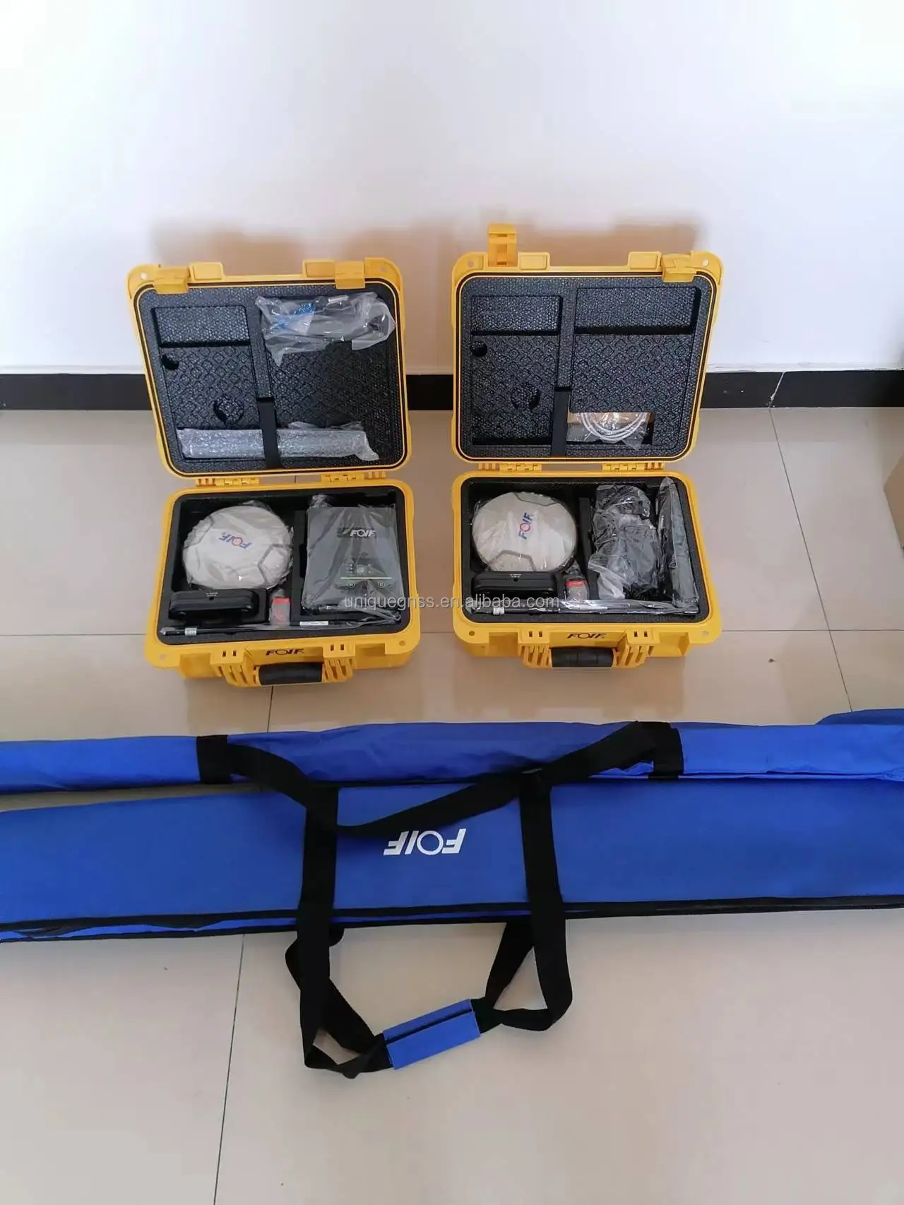
International version GNSS RTK with 1408 channels FOIF A90 for land surveying
- Category: >>>
- Supplier: Tianjin Unique Technology Co. Ltd.
Share on (1600629763832):
Product Overview
Description
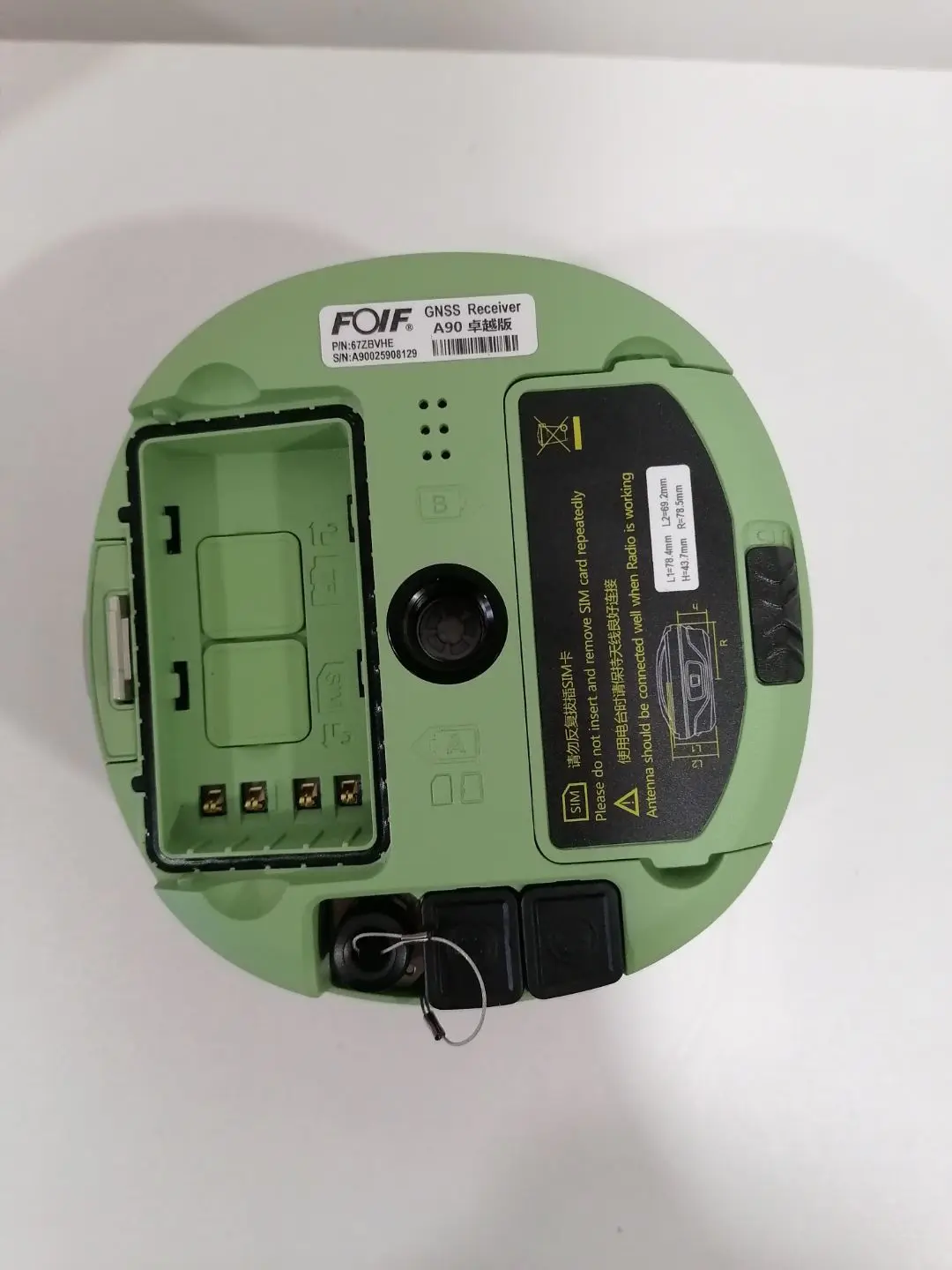
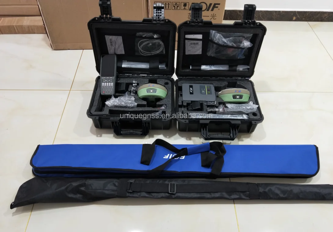
FOIF Direct-selling Cheap Durable Smart A90 GNSS RTK Rover Kit With IMU Tilt Survey and 1408 Channels
Product Description
FOIF A90 (base+rover ) 1408 channels
A90 is an Intelligent GNSS Receiver. It has professional GNSS satellites tracking performance(GPS, Glonass,Galileo,Beidou). It adopts IMU tilt function and WebUI control function. Bundled Android field software brings a big change in user experience and accessibility.
Detailed Images

Specification
Items | Specification | ||
GNSS Engine | GNSS board | UM980 | |
Channel | 1408 | ||
Satellites | GPS: L1 C/A, L2C, L2P, L5 | ||
GLONASS: L1 , L2 | |||
BeiDou: B1, B2, B3,B1C, B2A, B2B | |||
Galileo: E1, E5a, E5b, E6 | |||
NavlC (IRNSS): L5 | |||
SBAS: L1, L5 | |||
QZSS: L1 C/A, L1C, L2C, L5, L6 | |||
L-Band: Up to 5 channels | |||
Real-Time Accuracy(rms) | SBAS | Horizon: 60cm(1.97ft); Vertical: 120cm(3.94ft) | |
Real-Time DGPS position | Horizon: 40cm(1.31ft); Vertical: 80cm(2.62ft) | ||
Real-Time Kinematic Position | Horizontal: 1cm(0.03ft)+1.0ppm; Vertical: 2.5cm(0.08ft)+1.0ppm | ||
Real-Time Performance | Instant-RTK Intialization | Typically <10s (Intialization for base lines <20km) | |
Stop and Go solution | 99.9% reliability | ||
RTK Intialization range | >40km | ||
Post Processing Accuracy(rms) | Static, Rapid Static | Horizontal: 2.5mm(0.008ft) +1.0ppm; | |
Vertical: 5mm(0.016ft)+1.0ppm | |||
Post-processing Kinematic | Horizontal: 10mm(0.033ft)+1.0ppm; Vertical: 20mm(0.066ft)+1.0ppm | ||
Solutions | Surpad software | Main function include: A90 GNSS Support: configuration, monitoring and control | |
Field Software Suite | Volume computation, Background raster image | ||
Network connectivity, Coordinate System Support: predefined grid systems, predefined datums | |||
projections, Geoids, local grid | |||
Map view with colored lines Geodetic Geometry: intersection, azimuth/distance, offsetting, poly-line, curve, area | |||
Road Construction (3D): Survey Utilities: calculator, RW5 file | |||
Viewing: Data import/Export: DXF, SHP, RW5 | |||
Data logging | Recording Interval | 0.1-999 seconds | |
Physical | Flat design | ||
Size | 156mm*76mm | ||
Bottom cover | Aluminum magnesium alloy | ||
Memory | Internal memory | 8GB standard; supports extending to 32GB | |
I/O Interface | TNC port | connecting built-in radio antenna | |
5-pin lemo port | connecting external power supply and external radio | ||
7-pin lemo port | (USB+serial port): connecting PC and handheld | ||
Operating system | Linux | Based on Linux; Supports Web UI | |
Voice | Multi-language supported | ||
Tilt survey sensor | Automatic correct system by 60 degree | ||
Data format | Data format | RTCM 2.3 | |
RTCM 3.0.RTCM 3.X | |||
CMR, CMR+ | |||
NovAtelX/5CMRx | |||
Operation | Operation | RTK rover/base, post-processing | |
RTK Network rover | VRS, FKP, MAC | ||
Point-to-point GPRS through Real-time Data | |||
Server Software (internal GPRS or external cell phone) | |||
LandXML (FOIF Field Genius support) | Total Station support ( FOIF Field Genius) | ||
Import and stake directly from a DXF File (FOIF Field Genius) | |||
Office Software | Main functions include: Network post-processing | ||
Integrated transformation and grid system computations | |||
Pre-defined datums along with use-defined capabilities | |||
Survey mission planning | |||
Automatic vector processing | |||
Least-squares network adjustment | |||
Data analysis and quality control tools | |||
Coordinate transformations | |||
Reporting | |||
Exporting | |||
Geoid | |||
Environmental | Operating temperature | -30℃ to +65℃(-22°F to 149°F) | |
Storage temperature | -40℃ to +80℃(-40°F to 176°F) | ||
Humidity | 100% condensing | ||
Waterproof | IP67 (IEC60529) | ||
Shock | 2m (6.56ft) pole drop | ||
1.2m (3.94ft) free drop | |||
Power | 7.2v.2 removable batteries (total up to 6800mAh, supports single battery working) | ||
Optional System Components | Communication Module | Internal radio: UHF Link (410-470MHz) | |
1W | |||
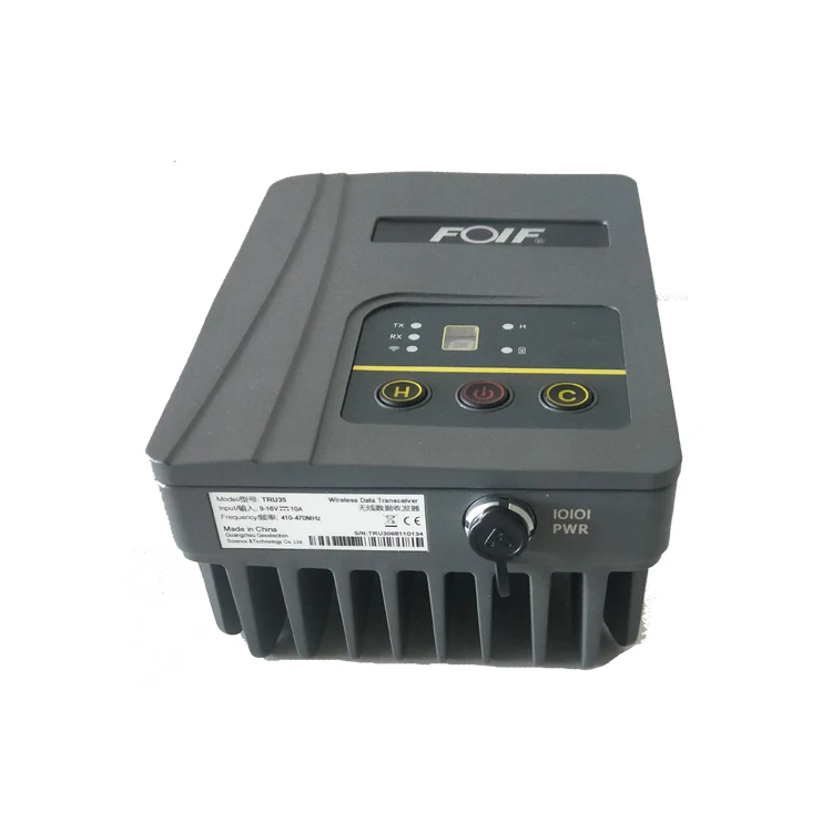
External radio | R*&*both (5w/35w selectable) | ||
4G LTE module (EC25 series) | Fits various networks | ||
Bluetooth | 2.1+EDR Class 2 | ||
WiFi | IEEE 802.11 b/g/n | ||
Antenna | Built-in antenna, integrating GNSS, BT/WLAN and network antenna | ||
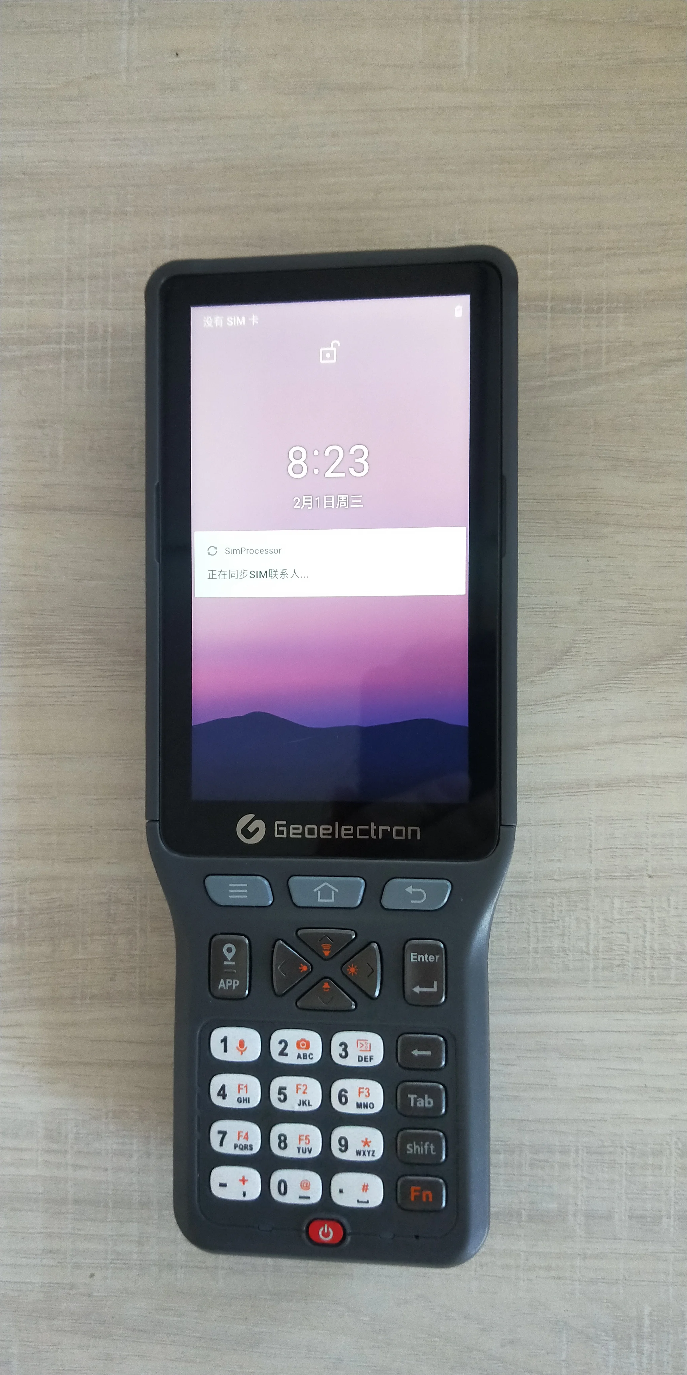
Controller | P9III | ||
Successful cases


Delivery

Our Service

Company Profile

Contact us

We Recommend

New Arrivals
New products from manufacturers at wholesale prices