

Magellan Explorist 310 Портативный GPS опрос с загружаемыми картами
- Category: Other Test Instruments >>>
- Supplier: Shanghai Hexin Survey Instrument Company Ltd.
Share on (60139701930):
Product Overview
Description
Magellan Explorist 310 Handheld GPS Survey with Uploadable Maps
Product Description
Features:
The Magellan eXplorist 310 GPS has everything you need to navigate your outdoor adventures. With its brilliant, daylight-visible 2.2-inch color screen with rich graphics and a simple user interface all packed into a rugged and waterproof (IPX-7) device you can explore worry-free. The 310 is powered by two AA batteries for up to 18 hours of outdoor adventure along with a highly-sensitive SiRFstarIII™ GPS chipset that provides 3–5 meter accuracy. The eXplorist 310 is great for geocaching with a simple interface and the ability to sort and search thousands of geocaches. The product comes packed with outdoor GPS features, such as waypoint creation; preloaded, highly-detailed Magellan World Edition map; active tracking; and track summary. Magellan Summit Series Regions are available for download (sold separately).
Specification:
Model | 310 |
DEVICE | |
Dimensions (English) | 2.2" x 4.4" x 1.4" |
Dimensions (Metric) | 56mm x 111mm x 36mm |
Weight (English) | 5.20z |
Weight (Metric) | 147g |
Battery Type | 2xAA |
Battery Life | 18 Hours |
Waterproof | IPX-7 |
Available User Storage | 500 MB |
CPU | 400MHz |
Temperature Range (F) | 14F to 140F |
Temperature Range © | -10C to 60C |
Suspend Mode | Yes |
Internal Memory | 2 GB |
SCREEN | |
Display Resolution, WxH | QVGA, 240 x 320 |
Screen Size | 2.2" |
Display Type | Color, Transflective |
GPS & SENSORS | |
GPS Accuracy | Up to 3-5 meters |
High-Sensitivity GPS | SiRFstarIII™ |
Antenna Type | Multidirectional Patch |
WAAS/EGNOS/MSAS | Yes |
MAPPING & NAVIGATION | |
Preloaded Maps | World Edition |
Uploadable Maps | Yes |
Points of Interest | Yes |
Vertical Profile | Yes |
Area Calculation | Yes |
Hunt & Fish Calendar | Yes |
Sun & Moon Information | Yes |
Coordinates Systems & Datums | Yes |
Audible Proximity Alarms | Yes |
USER GENERATED CONTENT | |
Accepts GPX Files | Yes |
Waypoints | 1000 |
Routes | 50 |
Geocaches | 10,000 |
Legs Per Route | 50 |
Paperless Geocaching | Yes |
Picture Viewer | Yes |
Tracks | 50 |
Points Per Track | 10000 |
User Data Online Sharing | Yes |
INTERFACE & COMMUNICATIONS | |
Communication Protocol | USB Mass Storage |
USB Port | Yes |
NMEA Output | Yes |
PC Compatible | Yes |
Product Show


Packaging & Shipping
I piece packed in 1 inner carton (15*15*7cm,0.5kg) 4 piece packed in 1 outer carton(20*20*30cm,2kg)
We can use the different international express company, usually, our first choice is DHL. if you have specified requirement , pls inform us before the order.

Customer Feedback
1.Customer Feedback is important to our business' s development.
2.We are happy you can give us some advice about our product and service. Your good advice is to safeguard our continuous progress.
3.Welcome to put forward valuable suggestions.
Company Information
With 8 years' experience in geodetic surveying and cadastration surveying, we are a professional and leading enterprise in the surveying industry in Mainland China. We specialize in the R&D and manufacturing and sales of all kinds of surveying products, including total station, electronic theodolite, electronic distance meter, automatic level, laser level, reflector prism, surveying accessory, GPS receiver, mapping software, etc.
The marketing model advocated by us is not a simple sense of "selling products", instead, pre-sales service, services during operation and after-sales service are integrated in entire operating activities. It makes the customers feel that they purchased not only a commodity, but also a professional service.
We welcome new and old customers from all walks of life to contact us for future business relationships and achieving mutual success!
We Recommend

Flange Connection Liquid Closed-loop Sampling System Device
US $46.00-$216.00

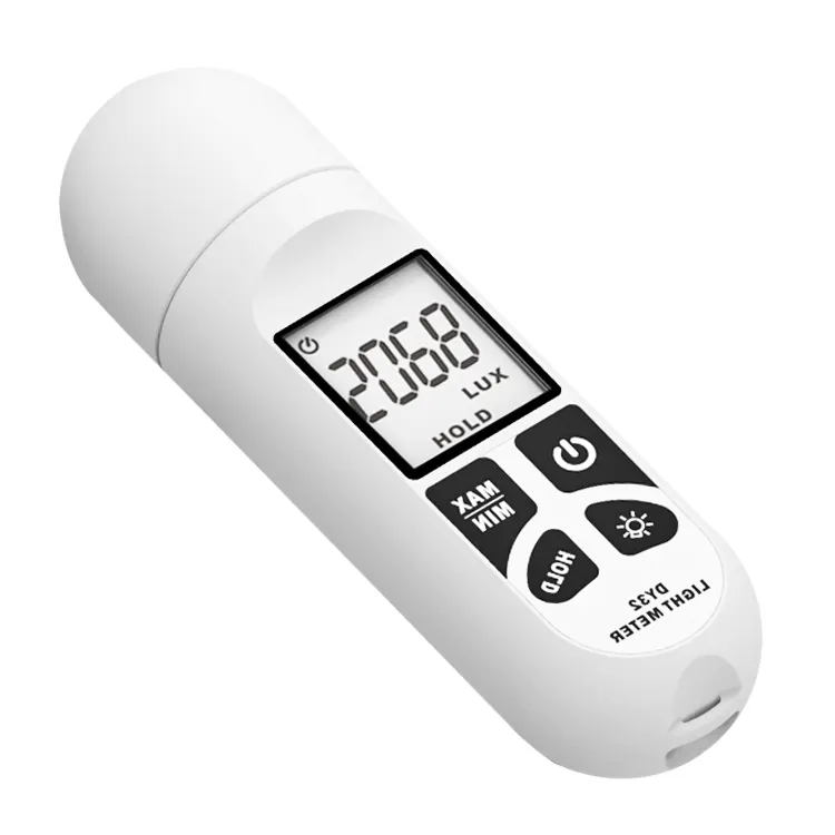
Ce Rohs DY32 Digital Lux Light Meter Lumen Meter Quantum Meter
US $9.95-$13.99

DO-957 Water Testing Meter low cost dissolved oxygen sensor
US $58.00-$66.00

KH300T Hand-held Digital Paperless Temperature Recorder
US $400.00-$1200
New Arrivals
New products from manufacturers at wholesale prices


