
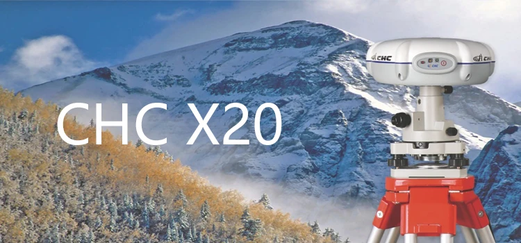

CHC X20 gps receiver dual frequency gnss rtk survey system trimble rtk
- Category: >>>
- Supplier: Shenzhen Pengjin Technology Co. Ltd.
Share on (60214702645):
Product Overview
Description
CHC X20 gps receiver dual frequency gnss rtk survey system trimble rtk 
Product Desctiption
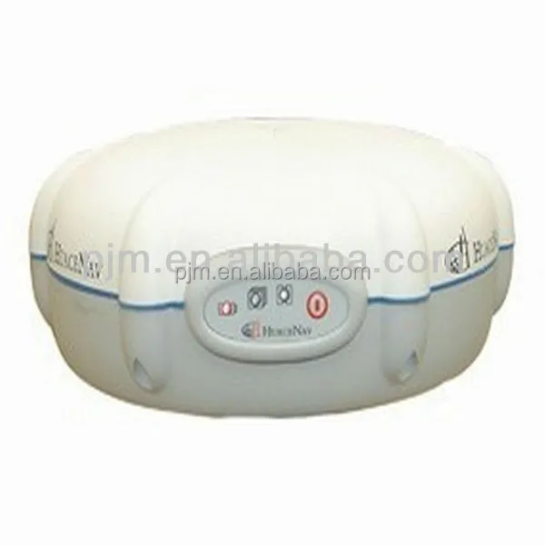
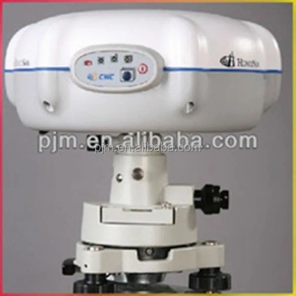
The CHC X20 L1 GPS receiver is powered by the latest high-performance GPS tracking technology making post processing static and kinematic surveys fast, reliable, and affordable for every surveyor, contractor and engineer.
Competitive and Reliable
Extremely affordable, the X20 GPS system is a “must-have” for a large range of applications from high accuracy surveying to precision mapping.
Easy to use - Static
The X20 is a “one button operation” for static survey. Powering on the unit automatically starts the recording of GPS raw data without any further steps. Operating day and night in any weather conditions, the X20 GPS works up to 9 hours on a single lithium ion battery and can be powered even longer with an external battery.
Cable Free - Kinematic
CHC HDIFF data collection software provides an intuitive yet complete, kinematic survey method and connects directly to the X20 via Bluetooth® to avoid unnecessary cables. HDIFF includes advanced quality control features securing your daily field work.
Compact and Lightweight
A small form factor of 18 cm × 6.5 cm (7 x 2.6 in) and weight of only 0.8 kg (28 oz), including a one-day battery operation, makes the X20 one of the most ergonomic field GPS systems.

KEY FEATURES
1. Competitive and flexible - Cutting edge GPS L1 technology for static and kinematic survey at a fraction of the cost
2. Easy to use - No learning curve “one button” operation mode for static survey
3. Field to finish solution - Easy data transfer and office processing
4. Compact and rugged - Small, lightweight and cable free for intensive field operation
Technical Specifications
| GNSS Characteristic | 12 channels | GPS L1 C/A code |
| L1 full carrier | ||
| SBAS | ||
| Low noise and low multi-path error | ||
| Optimized tracking of low elevation satellite | ||
| Performance specifications | Post Processed Static | Horizontal: 5 mm+1 ppm RMS |
| Vertical: 10 mm+ 2 ppm RMS | ||
| Post Processed Kinematic (PPK) | Horizontal: 10 cm+1 ppm RMS | |
| Horizontal: 10 cm+1 ppm RMS | ||
| Communications | 1 RS232 serial port | |
| 1 high-speed USB | ||
| Optional Bluetooth ® communications port for PPK | ||
| applications | ||
| Protocols | RINEX and HCN outputs for GPS raw data | |
| Hardware | Physical | Size (H×D): 65 x 180 mm (2.6 x 7.0 in) |
| Weight: 0.8 Kg with battery (28 oz) | ||
| Working Temperature: -30 °C to +60 °C (-22 °F to 140 °F) | ||
| Storage Temperature: -40 °C to +70°C (-40 °F to 158 °F) | ||
| Humidity: 100% condensation | ||
| Dust proof: IP67 | ||
| Waterproof: protected from temporary immersion to depth of 1 meter, floats. | ||
| Shock: survives a 2 meters drop onto concrete | ||
| Electrical | Typical power consumption: 0.8W | |
| Battery capacity: 2200 mAh | ||
| Operating times on internal battery:Up to 9 hours (Static), 7 hours (PPK) | ||
| External power input: 9-18VDC | ||
| Complete data collection solution for PPK field survey. | ||
| Software | Optional CGODIFF field software | Static and Kinematic post processing office software |
| Optional Compass and LandTour Office software | Combined ease of use and advanced data quality control. |
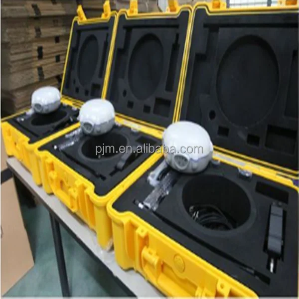
Packaging & Shipping


Our Services
1 Reply to your inquiry in 24 working hours
2 Experienced staffs answer all your questions in professional and fluent English.
3 Exclusive and unique solution can be provide to our customer by your our well-trained and professional engineers and staffs
Company Information
WHO WE ARE ?
Shenzhen Pengjin Technology Co.,Ltd, which is the owner of PJK brand land surveying instrument, the PJK brand covers total station, theodolite, level,RTK GPS, GIS, handheld GPS, Rebound tester, laser vertical collimator, laser rangefinder, laser swinger, laser line marking, laser telescope rangefinder,etc. Now we are looking for the international general agencies.

We Recommend


New Arrivals
New products from manufacturers at wholesale prices


