
CHC X91 CABLE BASE STATION GNSS ANTENNA RTK GPS RECEIVERS
- Category: >>>
- Supplier: Shenzhen Pengjin Technology Co. Ltd.
Share on (60381123849):
Product Overview
Description
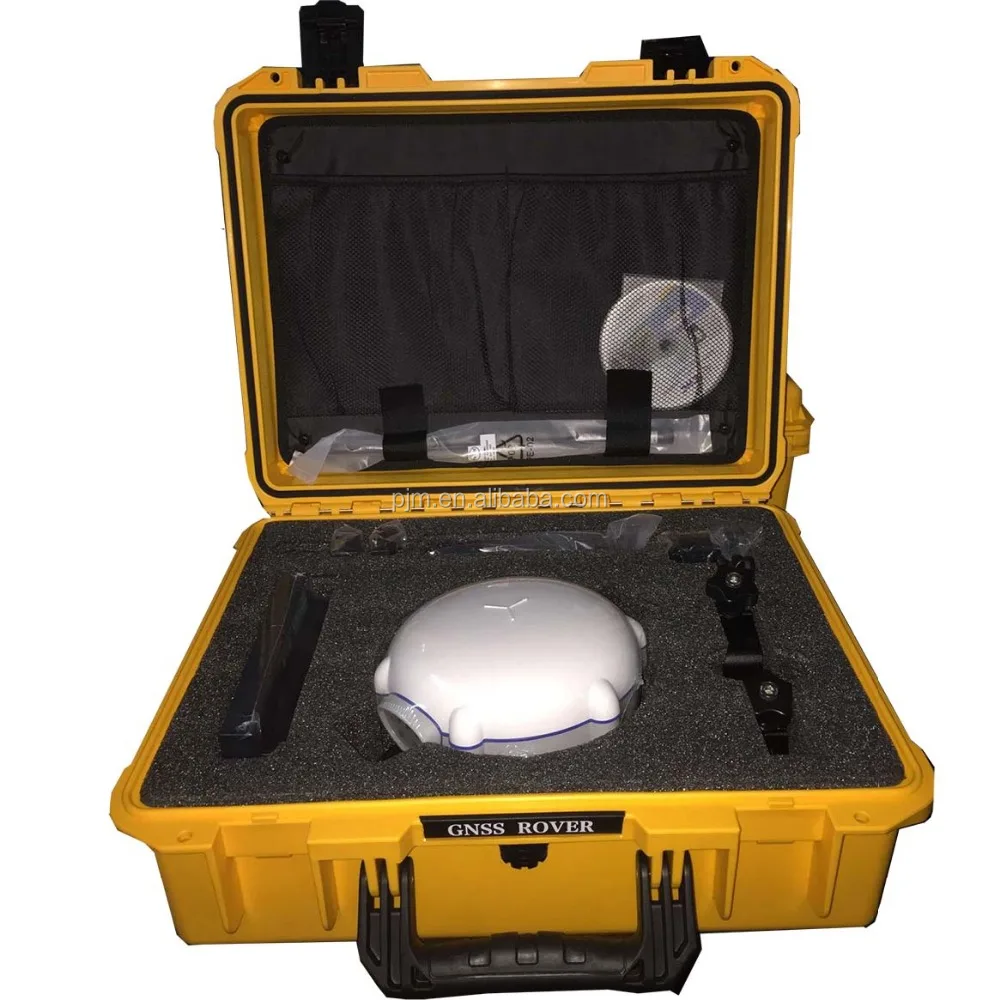
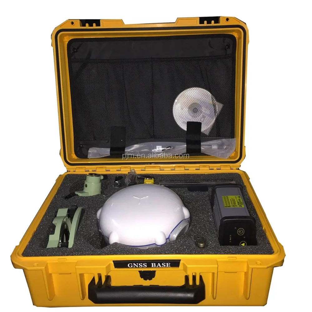
CHC X91+CABLE BASE STATION GNSS ANTENNA RTK GPS RECEIVERS

Product Description
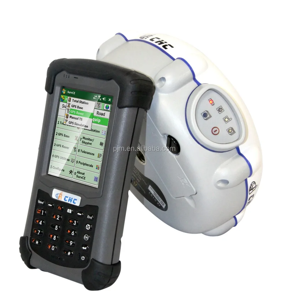
The CHC X91+ GNSS is a compact GNSS receiver designed for high accuracy and productivity even in harsh environmentS.Powered by 220 channels GNSS core engine, the X91+ GNSS provides a costeffective solution to any surveying project.
Easytouse, efficient and intuitive work flow, designed for advanced network RTK survey, compact and rugged, the X91+ is the perfect choice for demanding survey applications.
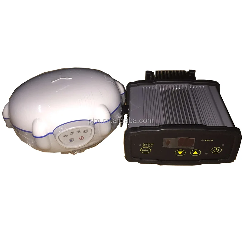
Fully Integrated
Built-in GNSS engine, antenna, UHF and GSM/GPRS modules, Bluetooth® communication in one single unit to make your everyday work simple.
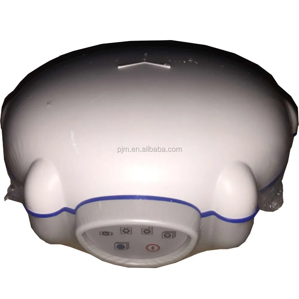
Compact and lightweight
The size of 180 mm x 85 mm (7.1 in x 3.3 in) makes the X91+ only weights 1.35 kg (48 oz) with battery.
Optimized for Network RTK
Connection to GNSS RTK Networks is made easy and benefits from the unique X91+ autoconnect feature.
Compatibility
The X91+ RTCM compliance with major GPS brands allow a troublefree integration into an existing pool of survey instrument.
Competitive and Reliable
By combining decades of positioning and surveying knowhow, the X91+ GNSS is one of the most powerful GNSS RTK solutions, with no compromise with quality but at an affordable price for every surveyor.


KEY FEATURES
1.Embedded 220 channels GNSS core module GPS, GLONASS, GALILEO and BeiDou
2.Outstanding RTK initialization and centimeter level position accuracy
3.Landstar or Carlson’s SurvCE Field data collection software scale to your survey need
4.Built-in GPRS modem and UHF data link
5.Seamless interoperability with major GPS/GNSS manufacturers
6.Small, lightweight and rugged design for demanding field work


| X91+ Technical Specification | |
| GNSS characteristics | |
| 220 channels | GPS:L1C/A, L1C, L2C, L2E, L5 |
| GLONASS:L1C/A,L1P, L2C/A, L2P, L3 | |
| SBAS: WAAS,EGNOS,MSAS | |
| Galileo: E1, E5A, E5B (test) | |
| Beidou: B1,B2 | |
| Advanced multipath mitigation technology | |
| Low noise carrier phase measurement | |
| Performance specifications | |
| Real Time Kinematics | Horizontal: 8mm+1ppm RMS |
| Vertical: 15mm+1ppm RMS | |
| Initialization time: typically <10s | |
| Initialization reliability: typically >99.9% | |
| Post Processing Static | Horizontal: 3mm+0.5 ppm RMS |
| Vertical: 5mm+0.5ppm RMS | |
| Baseline Length: ≤300 km | |
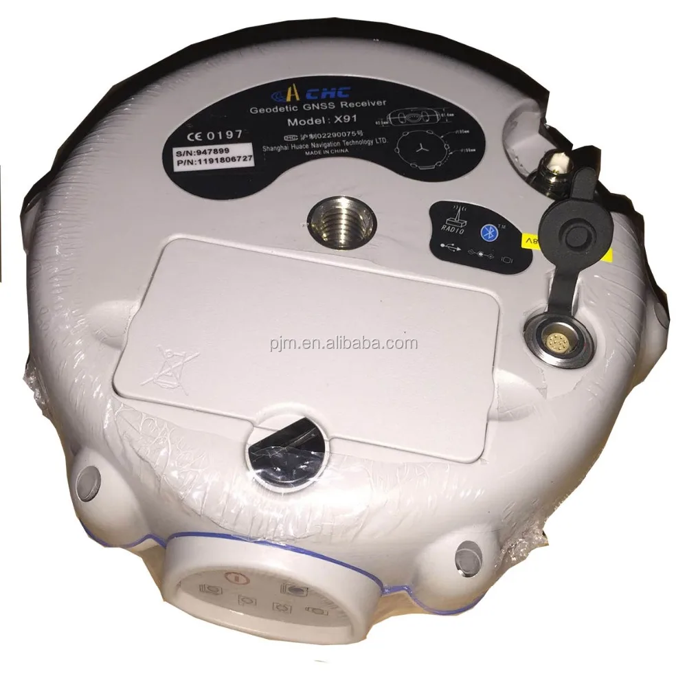
| Communications | |
| 1x RS232 serial port | |
| 1x high speed USB | |
| Integrated GSM/GPRS modem | |
| Integrated Bluetooth class 2 | |
| CHC radio modem internal Rx | 430450/450470MHz |
| Optional radio modem | Internal Rx: 403-473 MHz |
| External Tx DL5: 1W - 20W adjustable | |
| Power:1 WATT | |
| Protocols | RTCM2.1, RTCM2.3, RTCM3.0, CMR, CMR+ input and output |
| NMEA0183 output | |
| RINEX and HCN outputs for GNSS raw data | |
| Data Storage | 4 GB internal memory |
| GPS device mounts as a USB external hard drive | |
| Physical | |
| Size (HxD): | 85 x 180 mm (3.3 x 7.1 in) |
| Weight: | 1.35 kg with battery (48 oz) |
| Operating temperature | 40°C to +65 °C (40°F to 149°F) |
| Storage temperature | 40°C to +75°C (40°F to 167°F) |
| Humidity | 100% condensation |
| Waterproof and dust proof | IP67 protected from temporary immersion to depth of 1 meter, floats |
| Shock | survives a 2meter drop on to concrete |
| Electrical | |
| Power consumption | 2.6 W |
| Liion battery capacity | 2200 mAh |
| Battery life | typical 5 hours in RTK and STATIC mode |
| External power input | 9-18VDC |
| Software (optional) | |
| CHC’s Landstar field data collection software | |
| Carlson’s SurvCE field data collection software | |

Packaging & Shipping


FAQ
HOW TO PAY?

HOW TO DELIVER TO US?

HOW TO CONTACT YOU?

Skype: pjmchina
Whatsapp: +86 15814632339
QQ: 2850187683
WeChat:+86 15814632339
Tel: 0755-83990116
Mobile: +86 15814632339 (Sally)
We Recommend


New Arrivals
New products from manufacturers at wholesale prices


