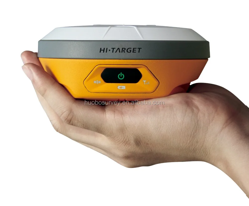
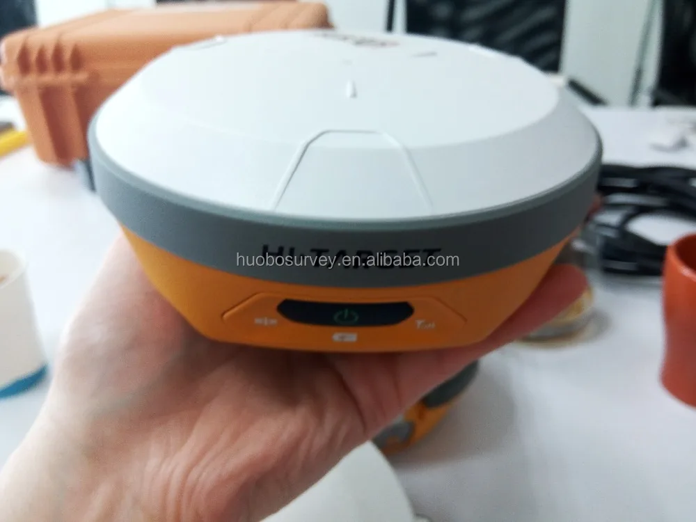
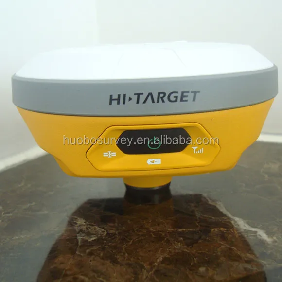
Hi taregt V100 Remote Control Netwotk gps receiver with ihand20 data logger GNSS GPS Surveying System
- Category: >>>
- Supplier: Chongqing Huibo Lab Instrument Co. Ltd.
Share on (60449516533):
Product Overview
Description
Hi-taregt V100 Remote Control Netwotk gps receiver with ihand20 data logger GNSS GPS Surveying System

| Compact, easy-to-use, network RTK |
| The V100 is a compact, lightweight and intelligent GNSS RTK Receiver. The built-in whole constellation BD970 OEM board, 4.0 standard dual-mode long-range Bluetooth and NFC module, data collection internet support and Hi-Target Cloud service make this the most convenient and efficient receiver for the network age. |
Technical Specification of V100 GNSS RTK Receiver
Satellite Signals Tracked Simultaneously
220 Channels
GPS……….. Simultaneous L1C/A, L2C, L2E, L5
GLONASS…………….. Simultaneous L1C/A, L1P, L2C/A (GLONASS M only), L2P
SBAS……………………. Simultaneous L1 C/A, L5
Galileo………………... Simultaneous L1 BOC, E5A, E5B, E5AltBOCi (Reserved)
BDS……………….. B1, B2
QZSS…………………….. L1 C/A, L1 SAIF, L2C, L5
POSITIONING PERFORMANCEii
Real Time Kinematic(RTK) Surveying
Horizontal……………………….. 8mm+1ppm RMS
Vertical………………………….. 15mm+1ppm RMS
Initialization time……..Typically < 8 seconds
Initialization reliability…….Typically > 99.9%
Code Differential GNSS Positioning
Horizontal………………………. 25cm+1ppm RMS
Vertical…………………………… 50cm+1ppm RMS
SBASiii……… 0.50m Horizontal, 0.85m Vertical
Static and Fast Static GNSS Surveying
Horizontal……………………2.5mm+1ppm RMS
Vertical…………………………. 5mm+1ppm RMS
Support Stop&Go and PPK
HARDWARE
Physical
Dimensions(WxH)…….127.5mm×57mm (5.02inch x 2.24inch)
Weight………700g (1.54lb) including internal battery
Operating temperature………. -40℃to +65℃ (-40℉ to +149℉)
Storage temperature…………. -40℃ to +75℃(-40℉ to +167℉)
Humidity………………………. 100%, considering
Water/dustproof……………….. IP67 dustproof, protected from temporary immersion to depth of 2m (6.56ft).
Shock and vibration……………Designed to survive a 3m(9.84ft) natural fall onto concrete.
Electrical
Power consumption 3.2W
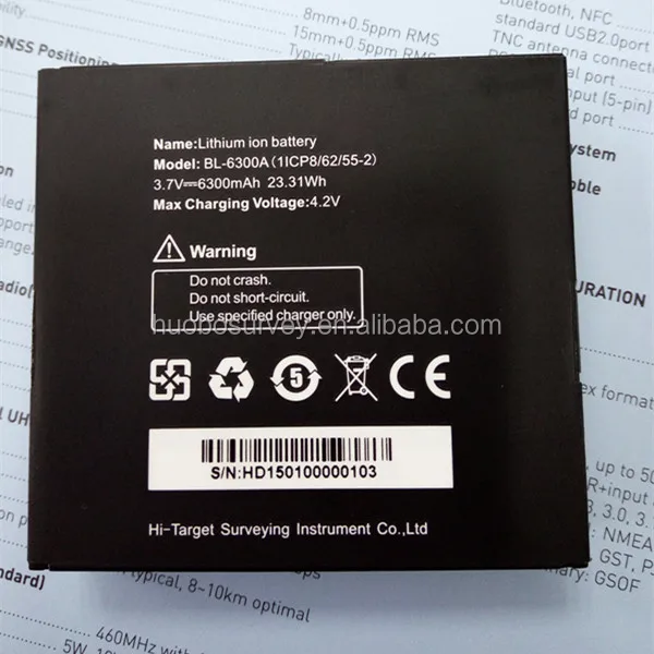
Rechargeable, removable 3.7V/6300mAh Lithium-ion battery, supports online charging
Power input: 4.5V-5.5V/ 2A DC (USB), 6V-28V/2A DC (5 pin port)
Data storage…………………8GB Internal storage
Internal Battery Life
Static 13 hours
RTK Rover (Data collector internet) 10 hours
I/O Interface
1 x mini USB port, for data downloading, power supply and firmware upgrading
1 x 5-pin port, for NMEA output, DC power supply and external devices
Communication
Dual-mode Bluetooth 4.0, compatible with Bluetooth 2.1, 2.4GHz
NFC (Near Field Communication)
Hi-Target/ Pacific Crest ADL Vantage pro external radio (optional)
Data Formats
1Hz positioning output, up to 20Hz
CMR: CMR, CMR+, sCMRx input and output
RTCM: RTCM 2.1, 2.3, 3.0, 3.1, 3.2 input and output
Navigation outputs ASCII: NMEA-0183 GSV, AVR, RMC, HDT, VGK, VHD, ROT, GGK, GGA, GSA, ZDA, VTG, GST, PJT, PJK, BPQ, GLL, GRS, GBS
Navigation outputs binary: GSOF
Notice:
1. Developed under a License of the European Union and the European Space Agency.
2. Precision and reliability may be subject to anomalies due to multipath, obstructions, satellite geometry, and atmospheric conditions.
3. GPS only and depends on SBAS system performance. FAA WAAS accuracy specifications are <5 m 3DRMS.
4. Descriptions and Specifications are subject to change without notice
Our Services
1. For hardware problem.Please send us the photos,and we will send the damaged part to you for free.For big issues like main board etc,please send them to us and we will repair them in 10 work days.We should take care the freight on each side.
2.For software problem. We will arrange for the video conference with the engineer (GMT+8 9:00-18:00)Or you can connect the with the engineer directly.
3. We also can arrange our engineer to solve the Customer's problems to customer's working place but the cost will be undertaken by customers. And we are also welcome that the customer come to our company to learn how to operate the instrument and how to maintain the instrument
4. For all instrument we provide life-long technical support.
Remark:Improper use of the instrument and man-made damage of the instrument is not covered in warranty liablity. Warranty only aimed at the problem caused by the product quality.
FAQ
Thank you for your time, We are looking forward to your enquiry to:
Email: GOLD17(@)industry.com.
Skype: Ceilin.Wang2015
Mobile:0086-15922922485
Viber/ WhatsApp: +86-13617601606
Or fill in with below form, Thanks.
We Recommend
New Arrivals
New products from manufacturers at wholesale prices