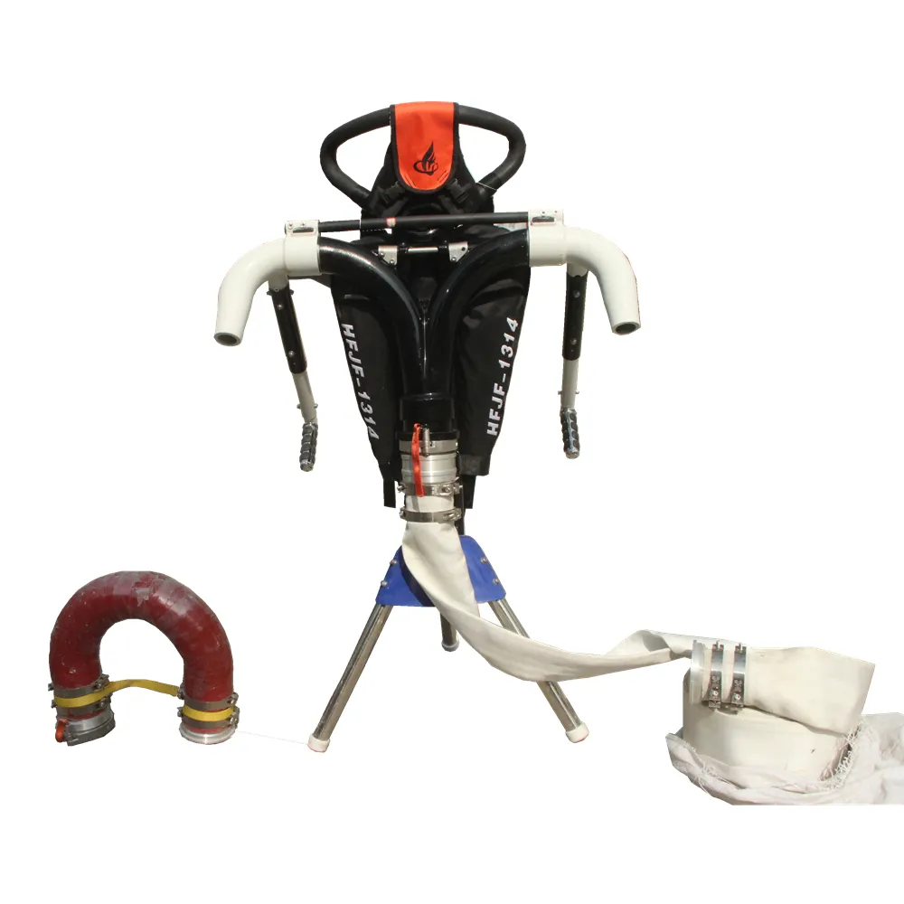
Cetus 240 Vtol Drone with Mapping Camera Wing Fixed Drone

Share on (62368725641):
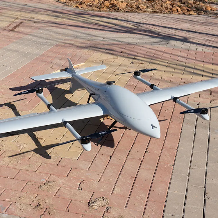
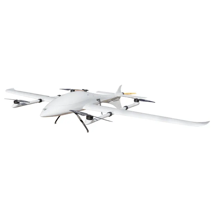
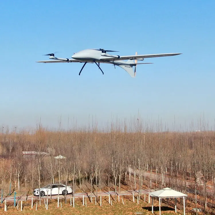
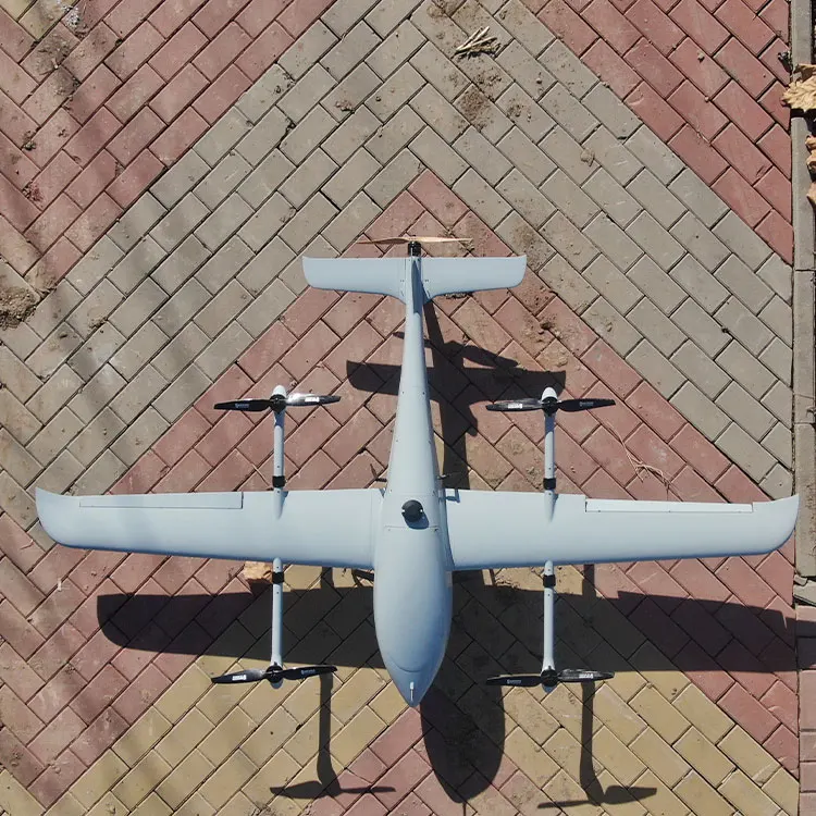
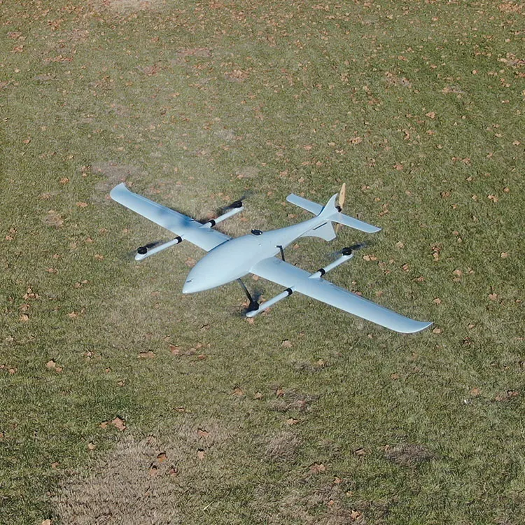
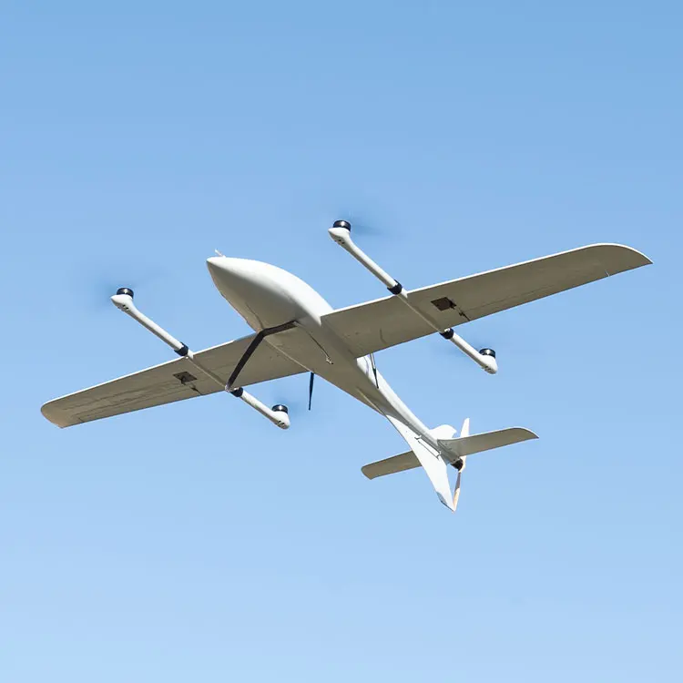

Price:

Quantity:


Product Overview

Description


FOXTECH Long Range Fixed Wing Composite Ultralight Survey Mapping Drone VTOL UAV

Cetus-240 VTOL is a perfect platform for mapping and survey. It can do mapping jobs like generating high-precision orthophoto maps and digital elevation models by loading with 3DM V4 oblique mapping camera.

- 3.5h endurance with 1.6kg payload.
- Highly advanced aerodynamic design.
- Light weight, high strength and strong anti-interference capability.
- Unique tail-wing design. The whole tail is designed as an elevator, greatly improves the aircraft lift.
- MX16 10km ground control station with video/data/rc all in one can realize drone control, data and video transmission, route planning, real-time flight status feedback and other functions.


Wingspan
240cm
Max. Take-off Weight
10kg
Max Payload
1.6kg (excluding battery)
Wind Resistance
10.7m/s
Endurance
3.5hours (2x 6S 16000mAh)
OEM
Available
Material
Carbon Fiber
RTF Weight
5.1kg (no battery, no payload)
Usage
mapping, survey


◆ We test every drone and take videos for client's confirmation before shipping.
◆ We provide 24 hours online technique support.
◆ We can customize the drone according to the application and client's requirements.


Our Main Solutions
1. Mapping, surveying and 3D modeling
2. Surveillance
3. Inspection
4. Delivery
5. Customization according to application and client's requirements


5.1781 s.