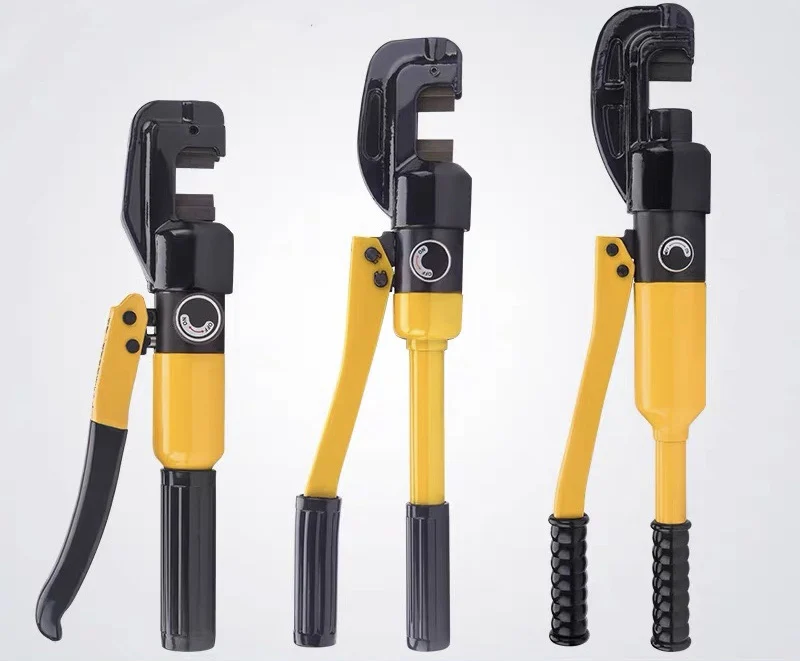
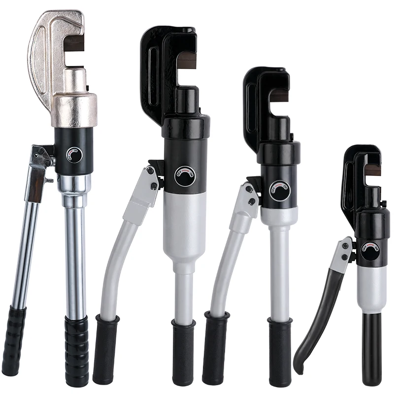
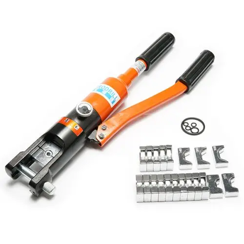
Производитель, ручной гидравлический режущий инструмент для арматуры 1/8-7/8 дюйма 4-22 мм 13 тонн, болт высокого качества
43,00 $ - 46,00 $
Сохранить в закладки 1600113709626:
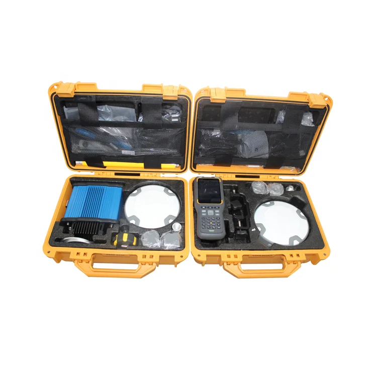
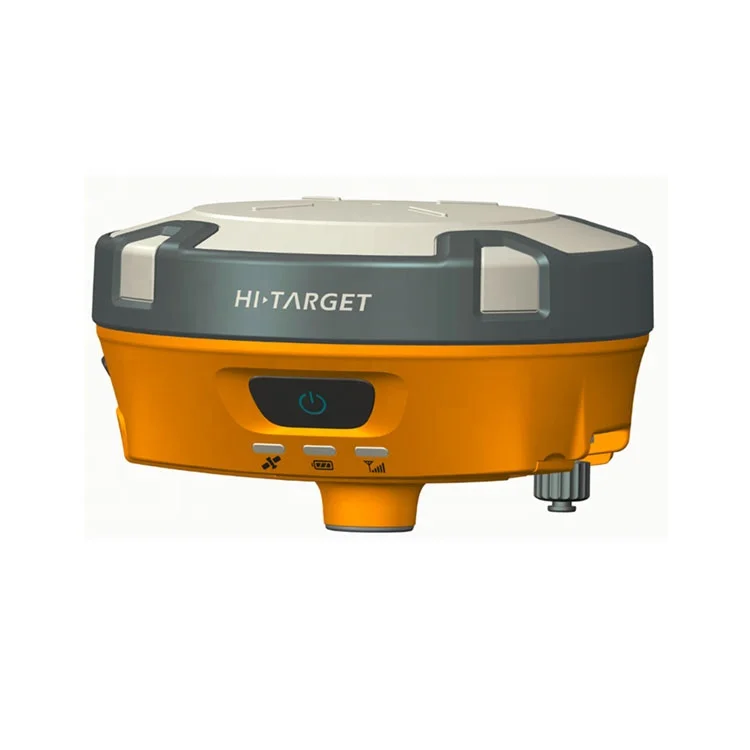
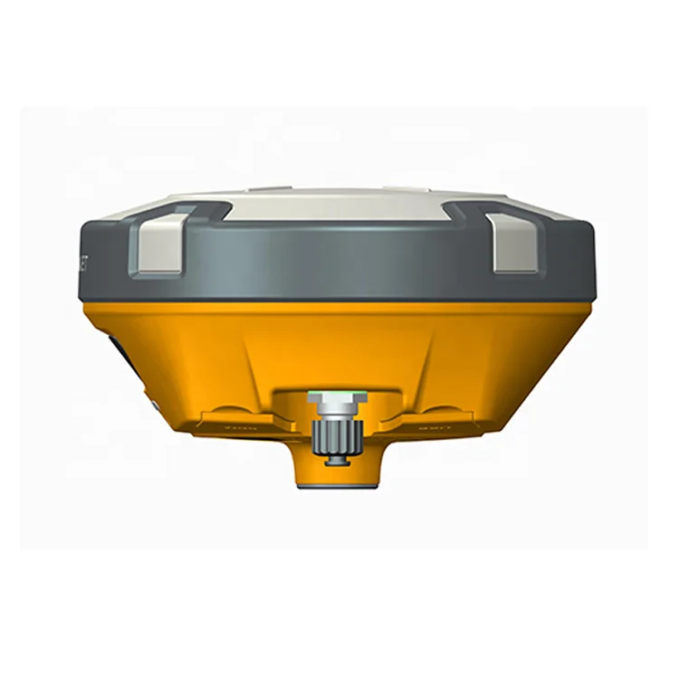
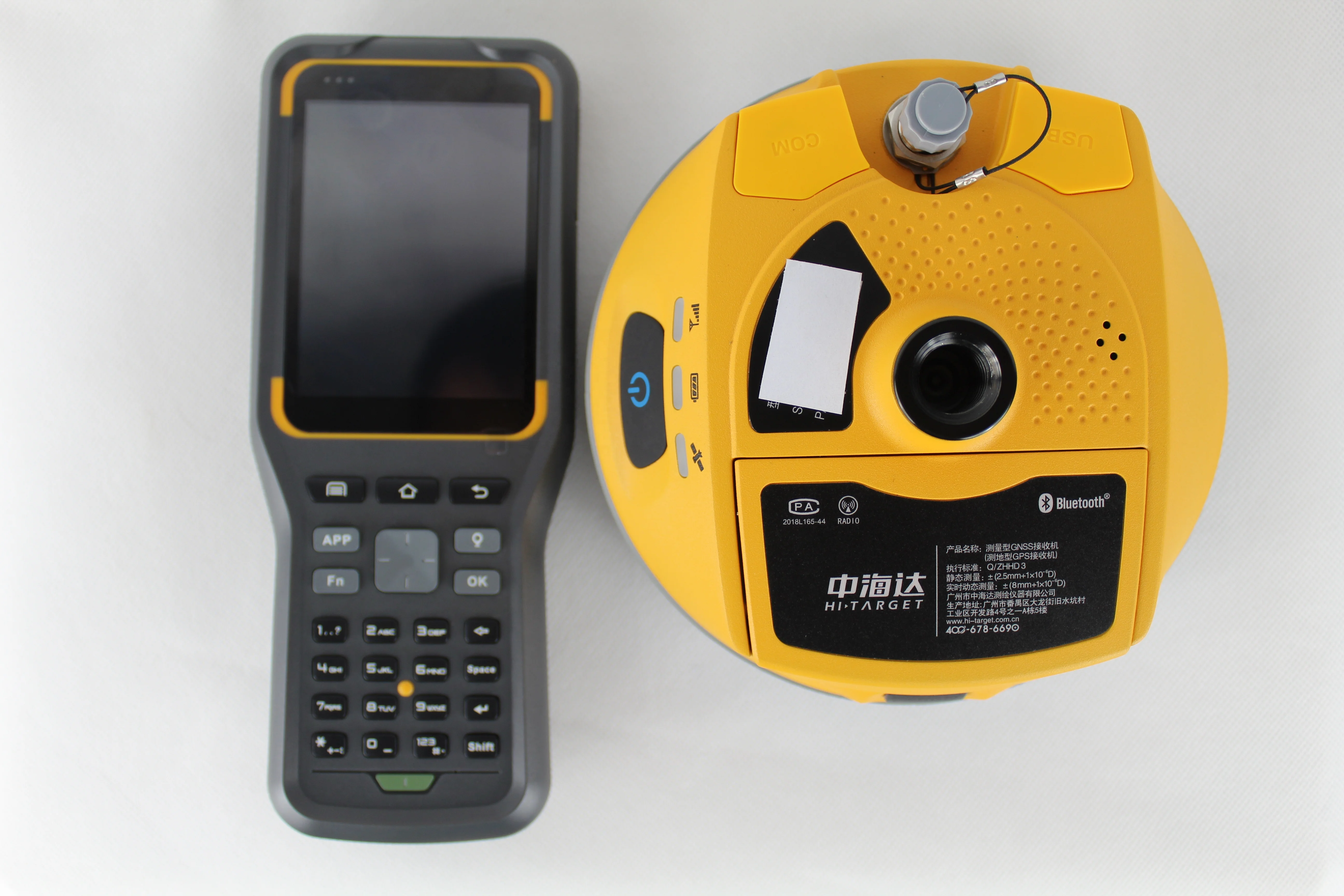
With a hi-tech, fully integrated design, the conveniently sized V90 is one of the most flexible choices for any measuring task.
Built-in Linux3.2.0 operating system, pre-loaded multiple smart applications such as tilt surveying, electronic bubble calibration, NFC and voice DIY, V90 GNSS system provides surveyor industry-leading GNSS solutions.
key benefits of V90 GNSS RTK system
1.Multi-constellation Tracking
• 220 trackir19 channels.
• NGS approved full-wave GNSS antenna.
•Supparts GPS, GLONASS, GALILEO, BOS, SBAS.
•Supparts a wide range of satellite signals.
•Alarge receiving area designed for multipath mitigation.
•Airdi electric is light and stable.
2.Smart Application
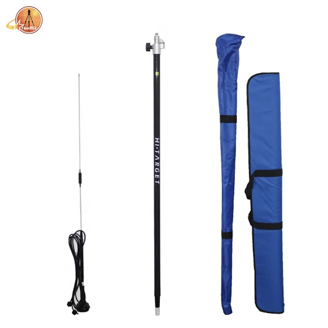
3.Optional Transceiver UHF Radio
4.Multi-network Connection
5.Powerful Battery
6.Rugged Design
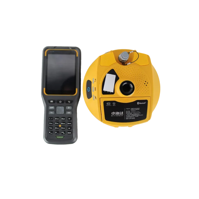
7.iHand30 Field Controller
Default Configuration
The iHand30 is designed for intelligent RTK with NFC sensor, a durable keyboard, ultra-long battery life and sensitive touchscreen, preinstalled free and intelligent Hi-Survey software. Hi-Survey software is the first high-precision survey software of Hi-Target running on the Android platform, supports tilt survey and electronic bubble, can perfectly cooperate with V90 plus.

8.Post-processing Software
HI-TARGET Geomatics Office (HGO) software
Model | V90 plus | |
System Configuration | Data storage | 8GB Internal storage (Support up to 32GB external SD card) |
Record GNS and RINEX format simultaneously | ||
Data Formats | 1Hz positioning output, up to 50Hz | |
CMR: CMR, CMR+, sCMRx input and output | ||
RTCM: RTCM 2.1, 2.2,2.3, 3.0, 3.1, 3.2 input and output | ||
Navigation outputs ASCII: NMEA-0183 GSV, AVR, RMC, HDT, VGK, VHD, ROT, GGK, GGA, GSA, ZDA, VTG, GST, PJT, PJK, BPQ, GLL, GRS, GBS | ||
Navigation outputs binary: GSOF | ||
Satellite Signals Tracked Simultaneously | Channels | 220 |
BDS | B1,B2 | |
GPS | Simultaneous L1C/A, L2C, L2E, L5 | |
GLONASS | Simultaneous L1C/A, L1P, L2C/A (GLONASS M only), L2P | |
SBAS | Simultaneous L1 C/A, L5 | |
GALILEO | Simultaneous L1 BOC, E5A, E5B, E5AltBOC | |
Static and Fast Static GNSS Surveying | Horizontal | 2.5mm+0.5ppm RMS |
Vertical | 5mm+0.5ppm RMS | |
Post Processing Kinematic (PPK / Stop & Go) GNSS Surveying | Horizontal | 1cm+1ppm RMS |
Vertical | 2.5cm+1ppm RMS | |
Initialization time | Typically 10 minutes for base while 5minutes for rover | |
Initialization reliability | Typically > 99.9% | |
Network RTK | Horizontal | 8mm+1ppm RMS |
Vertical | 15mm+0.5ppm RMS | |
Initialization time | Typically < 8seconds | |
Initialization reliability | Typically > 99.9% | |
Code Differential GNSS Positioning | Horizontal | 25cm+1ppm RMS |
Vertical | 50cm+1ppm RMS | |
SBAS | 0.50m Horizontal, 0.85m Vertical | |
Power and Battery | Power | 6V to 28V DC external power input,Power consumption ≤3.5W |
Internal battery | Rechargeable, removable 7.4V, 5000mAh Lithium-ion battery | |
Internal battery life | Static 12hours | |
RTK rover (UHF/GPRS/3G) 10 hours | ||
RTK base more than 8 hours | ||
I/O Interface | 1 xBluetooth, NFC ,1 x standard USB2.0 port ,1 x TNC antenna connector,1 x RS232 serial port ,1 x DC power input (5-pin) ,1 x MicroSD card port | |
Physical | Dimensions (W x H) | 153mm x 83mm (6.02inch x 3.27inch) |
Operating temperature | -40ºC to +65ºC (-40ºF to +149ºF) | |
Storage temperature | -55ºC to +85ºC (-67ºF to +185ºF) | |
Humidity | 100%, considering | |
Water/dustproof | IP67 dustproof, protected from temporary immersion to depth of 1m (3.28ft). | |
Shock and vibration | Designed to survive a 3m(9.84ft) natural fall onto concrete. | |
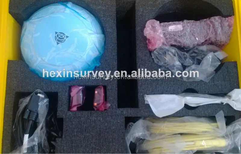
Packaging is absolutely fine, high-end and upscale. We have been dealing with foreign clients for more than 8 years. Before leaving the factory, every part is strictly tested.Please rest assured that we have all the necessary accessories for the instrument.
We have strong cooperation with DHL, TNT, UPS, FEDEX,EMS,China Air Post.
You can also choose your own shipping forwarder.

Generally, we accept Trade Assurance, Paypal, Advance T/T, and West union.
If you prefer other payment terms, please let us know.
Company Information

Payment:
Generally, we accept Trade Assurance, Paypal, Advance T/T, and West
union.If you prefer other payment terms, please let us know.
Delivery:
1.Usually, we will send out the products within 3-5 working days after the payment confirmed.
2.Before shipment, pls supply the following information to us :
Contact person or company name
Detail address
Telephone No
Zip code
3.The buyer are responsible for the tax and/or duty charged by their country.
Return and warranty:
1.All products are inspected before shipment, if you are not satisfactory with the purchase,you can exchange the items in one week,and you must contact us within 24 hour of receipt of the products.
2.The shipping charges are not refundable and the customer should be responsible for all the charges of return and reshipping.
Feedback:
Customer's feedback will be high appreciated after receive the items. Since your feedback are very important four our business development.

Новинки товаров от производителей по оптовым ценам