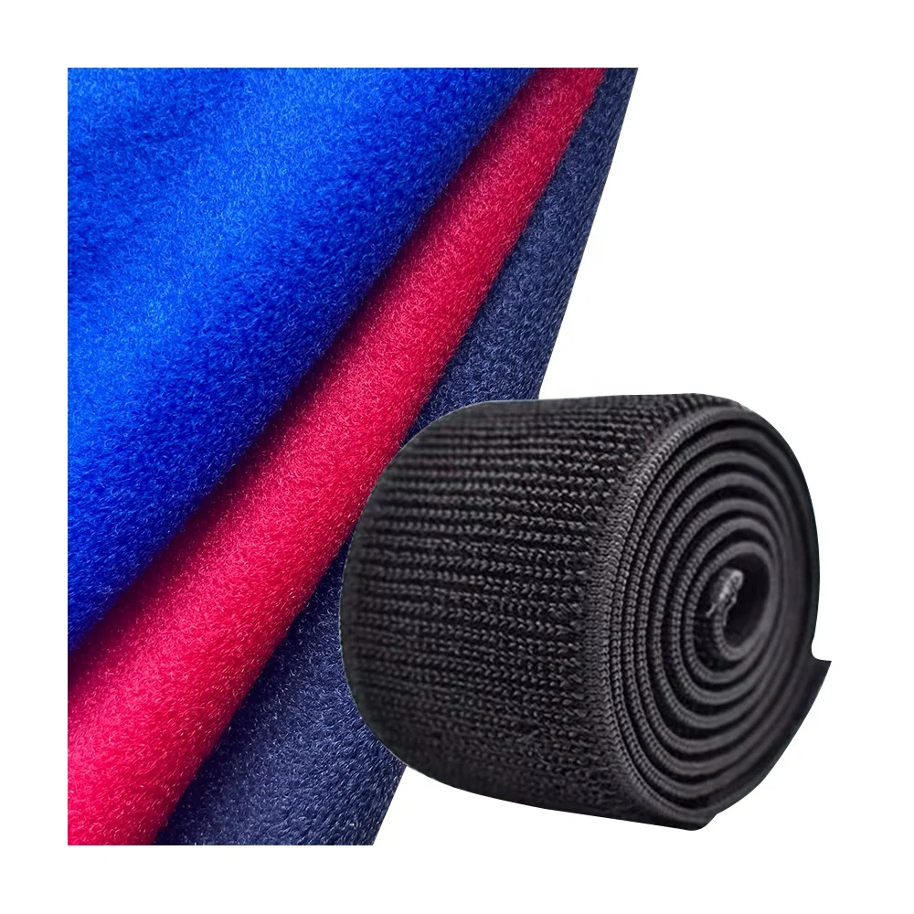
Фабричная Волшебная петля клейкая велюровая ткань крючок бархатная основа трикотажная Velboa нейлоновая из
2,40 $ - 2,60 $
Сохранить в закладки 1600689652454:
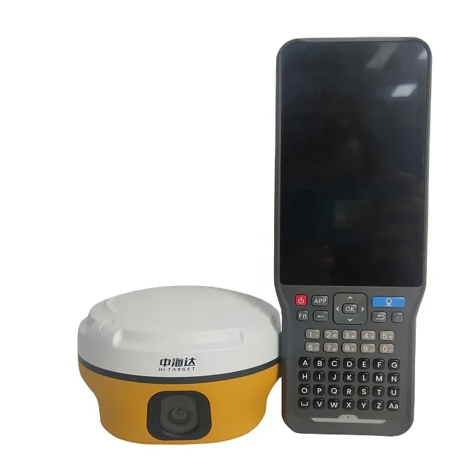
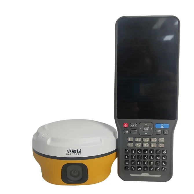
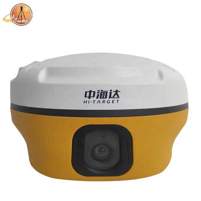
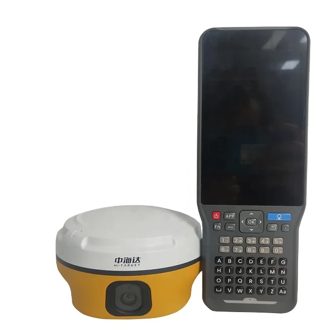
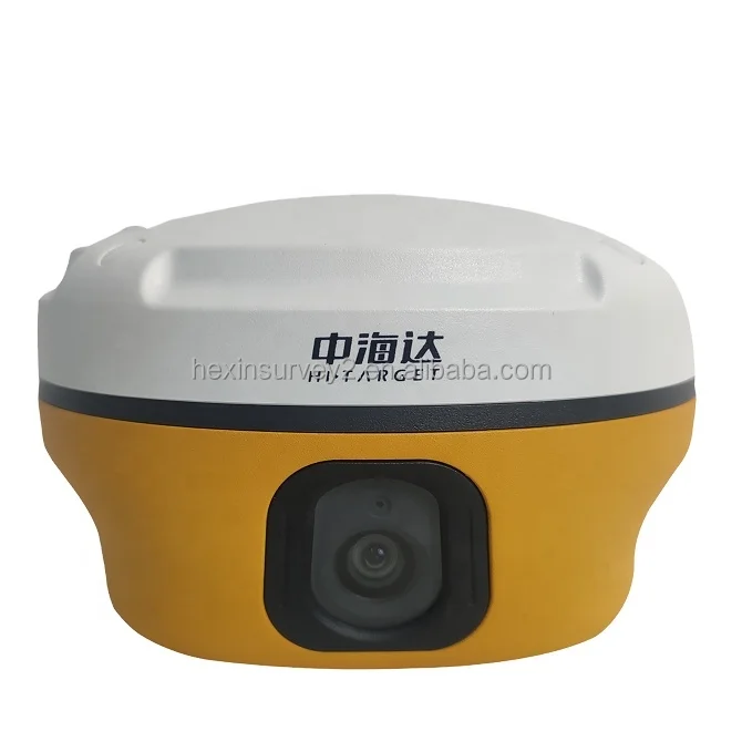
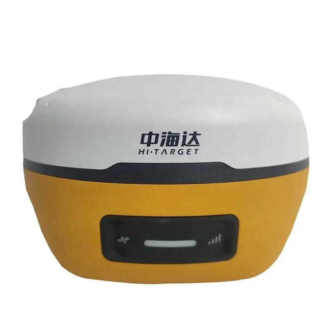
Hi-target V5 RTK GNSS
New IMU GNSS RTK
Visual Positioning Technology
VR image positioning technology

key benefits of V5 GNSS RTK system
New IMU GNSS RTK with Visual Positioning Technology
Equipped with professional dual cameras, vRTK is Hi-Target’s first lightweight and innovative visual RTK receiver product, which not only enables non-contact image surveying, breaking through the objective constraints of previous work, but also improves the speed of stakeout with the function of Live View Stakeout. It greatly improves the work efficiency of engineering users.

Dual Cameras for Image Survey and Live View Stakeout
Non-contact measurement greatly improves the usable range of GNSS and efficient safe operation.

Strong Signal and High-quality Data
New generation GNSS SOC chip with 1408 channels, supports new frequency points B1C, B2a, and B2b RTK decoding for Beidou-3 Satellites.
Introduction of multi-frequency anti-jamming technology and multi-step adaptive filtering technology to ensure strong signals, high-quality data, fast fix, and high accuracy.

Abundant Industry Data Results
Abundant types of data results meet the needs of different industry applications.
Compatible with the mainstream modelling software to attain point cloud and 3D modelling in one step.
iHand55 Field Controller
Default Configuration
 | iHand55 Professional Field Controller The iHand55 Handheld Controller is a professional field controller with a big vision. More features of the latest Hi-Survey Road Soft-ware contribute to achieving high intelligence. Keeping robust and reliable in fieldwork under any conditions, iHand55 is a perfect choice for your survey work. |
Hardware | OS: Android 10 |
Communication | Cellular mobile: 4G, Dual SIM |
Physical | Weight: 480g(with battery) |
GNSS Features | GNSS: GNSS antenna, GPS, GLONASS, BDS, AGPS, |
Power Supply | Battery: 7500 mAh internal |
Post-processing Software
HI-TARGET Geomatics Office (HGO) software


Satellite Signals Tracked Simultaneously | |
Channels | 1408 |
GPS | L1C/A, L1C, L2P(Y), L2C, L5 |
BeiDou | B1l B2I, B3I, B1C, B2a, B2b |
GLONASS | L1, L2 |
Galileo | E1, E5A, E5B, E6 |
IRNSS | L5 |
SBAS | L1C/A,L5(QZSS,WAAS,MSAS,GAGAN) |
QZSS | L1, L2, L5, L6 |
POSITIONING PERFORMANCE | |
High-Precision Static | |
Horizontal | 2.5 mm + 0.1 ppm RMS |
Vertical | 3.5 mm + 0.4 ppm RMS |
Static and Fast Static | |
Horizontal | 2.5 mm + 0.5 ppm RMS |
Vertical | 5 mm + 0.5 ppm RMS |
Post Processing Kinematic (PPK / Stop & Go) | |
Horizontal | 8mm+1ppm RMS |
Vertical | 15mm+1ppm RMS |
Initialization time | Typically 10 min for base and 5 min for rover |
Initialization reliability | Typically > 99.9% |
Code Differential GNSS Positioning | |
Horizontal | 25cm+1ppm RMS |
Vertical | 50cm+1ppm RMS |
SBAS | 0.5m |
Real Time Kinematic (RTK) | |
Single Baseline | |
Network RTK(VRS,FKP,MAC) | |
Horizontal | 8mm+0.5ppm RMS |
Vertical | 15mm+0.5ppm RMS |
Initialization time | Typically 2-10s |
Initialization reliability | Typically> 99.99% |
Provides RTK measurements even during differential signal | |
Hi-Fix | |
Horizontal | RTK+10mm / minute RMS |
Vertical | RTK+20mm / minute RMS |
Time to first Fix | |
Cold start | < 45s |
Hot start | < 30s |
Signal re-acquisition | < 2 s |
Image Accuracy | |
Stakeout | Typically 2cm |
Image Measurement | 2cm~4cm |
Tilt Survey Performance | |
Additional horizontal pole-tilt uncertainty typically less than | |
Packaging is absolutely fine, high-end and upscale. We have been dealing with foreign clients for more than 8 years. Before leaving the factory, every part is strictly tested.Please rest assured that we have all the necessary accessories for the instrument.
We have strong cooperation with DHL, TNT, UPS, FEDEX,EMS,China Air Post.
You can also choose your own shipping forwarder.

Generally, we accept Trade Assurance, Paypal, Advance T/T, and West union.
If you prefer other payment terms, please let us know.
Company Information

Payment:
Generally, we accept Trade Assurance, Paypal, Advance T/T, and West
union.If you prefer other payment terms, please let us know.
Delivery:
1.Usually, we will send out the products within 3-5 working days after the payment confirmed.
2.Before shipment, pls supply the following information to us :
Contact person or company name
Detail address
Telephone No
Zip code
3.The buyer are responsible for the tax and/or duty charged by their country.
Return and warranty:
1.All products are inspected before shipment, if you are not satisfactory with the purchase,you can exchange the items in one week,and you must contact us within 24 hour of receipt of the products.
2.The shipping charges are not refundable and the customer should be responsible for all the charges of return and reshipping.
Feedback:
Customer's feedback will be high appreciated after receive the items. Since your feedback are very important four our business development.
Новинки товаров от производителей по оптовым ценам