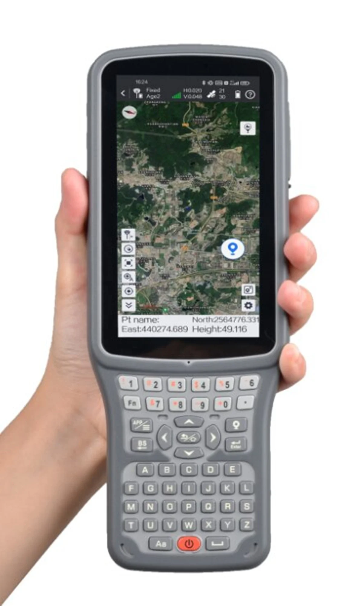
Профессиональная геодезическая система RTK GPS инструмент TIANYU South C6 GPS GNSS с временем работы 1598 каналов 15 ч
- Категория: >>>
- Поставщик: Shanghai Hexin Survey Instrument Company Ltd.
Сохранить в закладки 1600763892392:
Описание и отзывы
Характеристики
Product Description

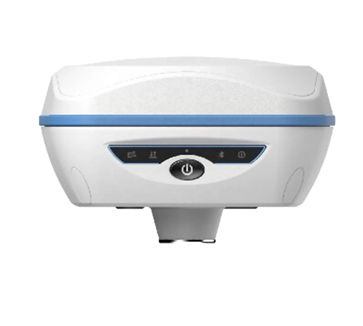
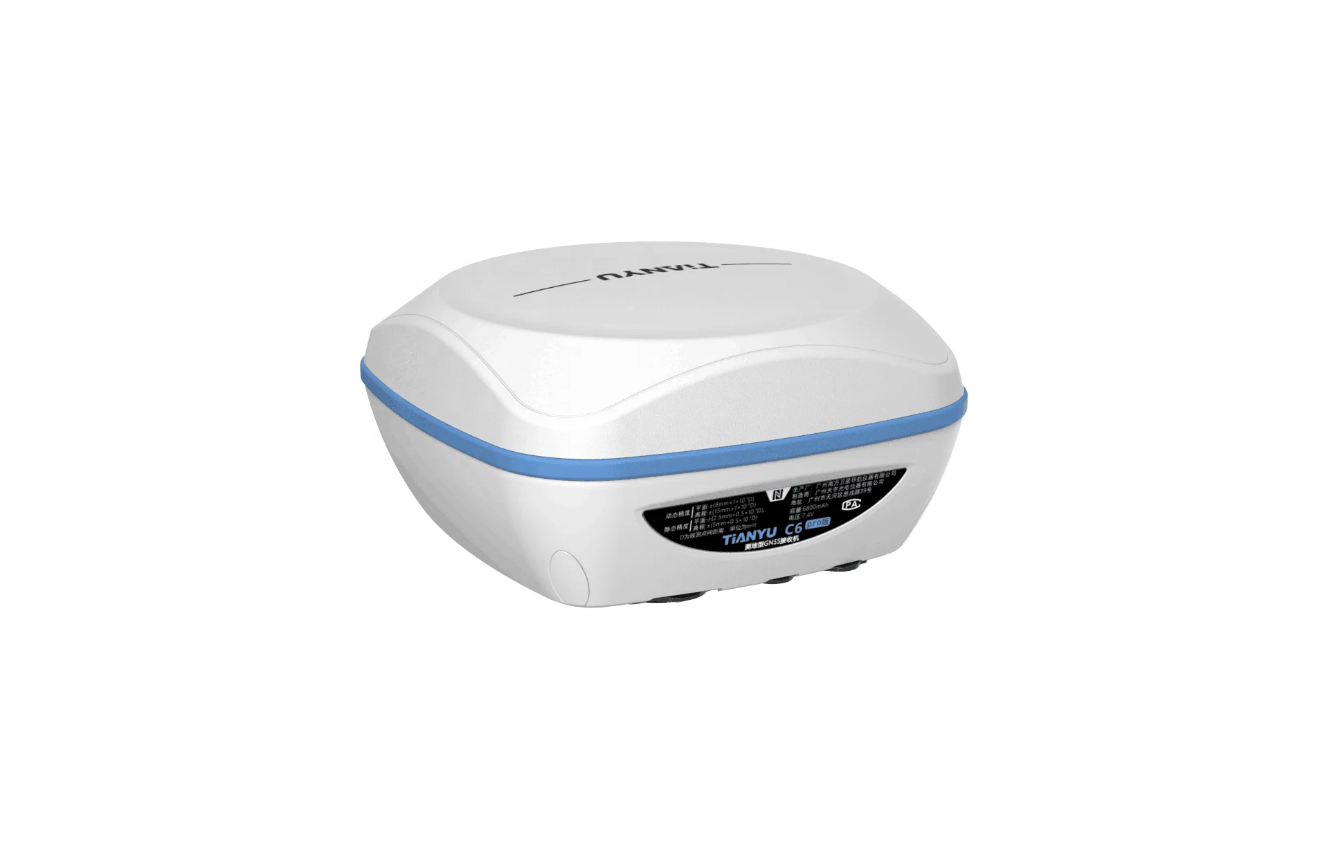
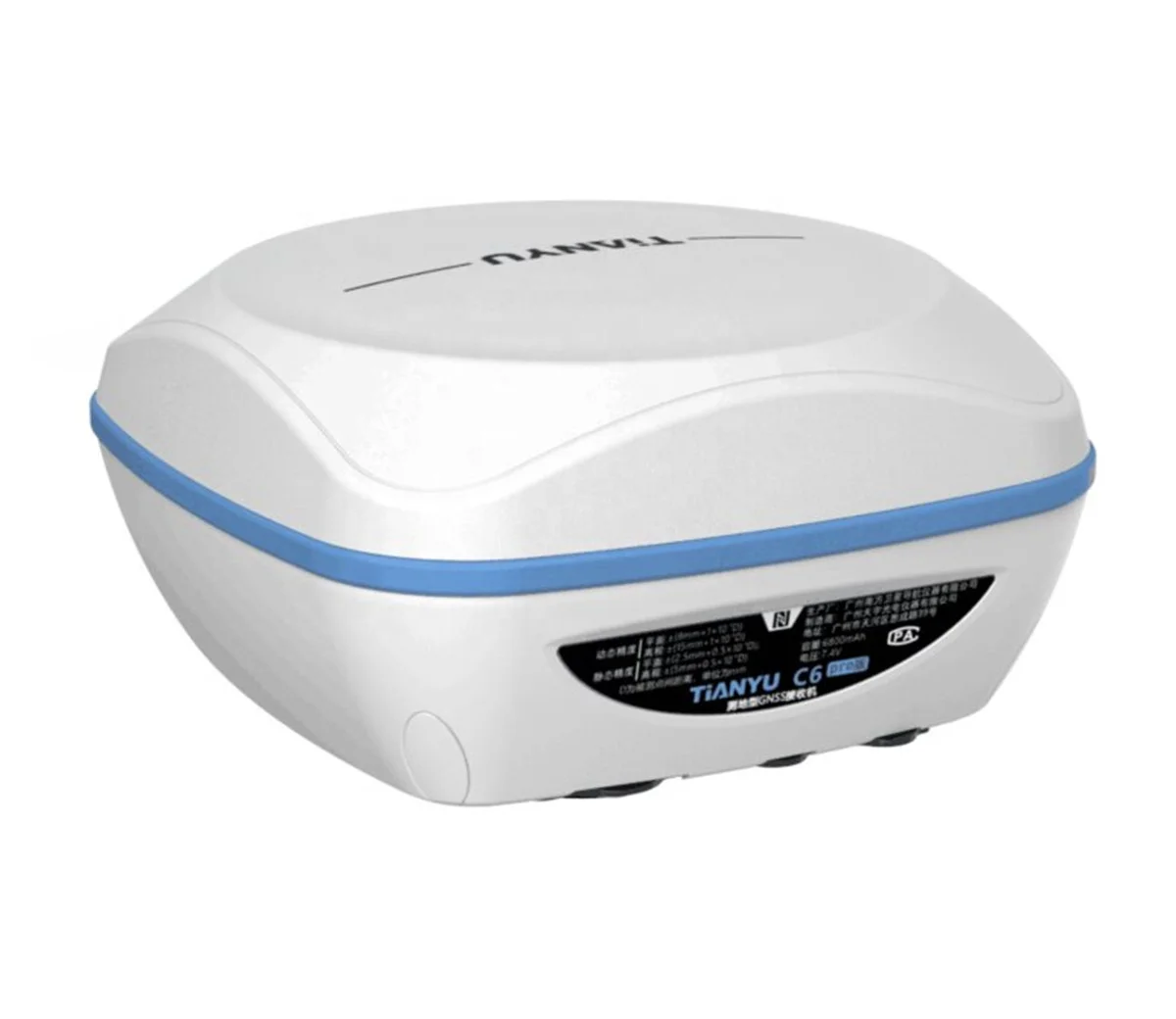
TIANYU C6 GNSS POSITIONING SYSTEM
New generation of powerful GNSS mainboard Board-803 with 1598 channels enables C6 to support a wide range of satellite signals, including GPS, GLONASS, BeiDou, Galileo, QZSS, SBAS, etc, with greater single stability and positioning accuracy.


*Built-in transceiver integratedradio, working frequency 410-470MHz Trim Talk
450S,TrimMark3,SOUTH CHC SATEL HI-TARGET are all compatible.Equipped with Far-Link "Simultaneous" radio module,based on Farlink protocol, it can increase the sensitivity and efficiency of radio signal, achieve the typical working range as 8KM operation, and meet the needs of customers for small and medium-scale.
*Built-in 6800mAh high-capacity battery, the battery life is more than 15 hours, one charge, meets all-day work.Equipped with fast charging charger, which can be fully charged within 5 hours.The battery core can be recharged with long life, and performance is more secure and reliable.
*By connecting through the integrated WiFi of C6, you can log on an user- friendly management platform on the browser of your phone or computer.All status monitoring and parameter settings can be achieved in a fast and easy way.


*Built-in IMU compensator, correct the coordinates according to the tilt direction and angle of the centering rodautomatically within 60°,assist you quickly and accurately survey or stake out points without leveling the pole,error less than 3cm
within 45°inclination, improve working efficiency by 20%.
*Powered by the new generation of embedded Linux operating system, C6 has a greatly improved RTK performance and efficiency.One unique core processing mechanism is able to response to more than one command at one time.


*Android 8.1 5” touch screen 4GB/32GB Alphanumeric keypad Ip67
*Android software SurvX Easy-to-use work flow Useful survey tools Google map supported DXF, DWG import & display
*10/25W Output SOUTH/Trimtalk Protocol 403-473MHz Blue tooth 4.0 Ip67


H6 Controller
H6 as an Industrial controller has rugged cover which reaches to IP67. The device is waterproof and 1.5m drop proof, your data will be protected and the reliability of the device in the most challenging environments. In addition, the 9200 mAh Li-ion battery fulfills the long time working time need.
Dual nano SIM card slots supports 4G network bring perfect experience of high speed net connection Integrated with various sensors,like NFC, gyroscope, E-compass,G-sensor, etc. New generation Blue tooth V4.1 working distance is more than 20 meters , the advanced WIFI module makes the working range up tp 30 meters in good condition.
Operating system:Android 8.1 CPU:Octa-core 2.0GHz RAM:4GB ROM:64GB Storage extension:Support 128 GB extension | |
SIM FREQUENCIES | GSM: B2/B3/B5/B8 FDD-LTE:B1/B2/B3/B4/B5/ B7/B8/B12/B13/B17/B20/B25/B28TDD-LTE:B38/B39/B40 /B41TDSCDMA:B34/B39 WCDMA:B1/B2/B5/B8CDMA1x/CDMA2000:BC0 Dual SIM card slot:Support two nano sim USB:type-C, support OTG WiFi(WLAN): IEEE 802.11 a/b/ g/n,2.4G/5GBlue tooth:V4.1 |
Display:5 inches capacitive touch screen (720×1280dpi) Keypad:Full keypad Audio:Integrated speaker, microphoneCamera:13megapixel camera with autofocus Flash light:High light Flash LEDSupport:Gyro,NFC,G Sensor Compass GNSS:GPS/GLONASS/BDS | |
Battery Capacity:9200mAh Stand-by Time:240 Hrs Operating Time:15 Hrs | |
ENVIROMENT | Waterproof/Dustproof:IP67 Shockproof:1.5mOperation temperature:-20℃~+60℃ Storage temperature: -30℃~+70℃ |
PHYSICAL PROPERTY | Size:235mm*90mm*35mm Weight:520g |
Specification of TIANYU South C6
Channels:1598 GPS Tracking:L1,L1C,L2C,L2P,L5 GLONASS Tracking:G1,G2 BeiDou Tracking:B1,B2,B3 Galileo Tracking:E1,E5A,E5B,AltBOC QZSS:L1,L2C,L5 SBAS:L1* IRNSS:L5* Positoning Rate:1-20Hz | |
Code Differential:Horizontal 0.25m±1ppm (rms) Vertical 0.50m±1ppm (rms) Static:Horizontal 2.5mm±0.5ppm (rms) Vertical 5mm±0.5ppm (rms) Real-Time Kinematic:Horizontal 8mm±1ppm (rms) Vertical 15mm±1ppm (rms) Network RTK *By controller:Horizontal8mm±0.5ppm (rms) Vertical 15mm±0.5ppm (rms) | |
Tilt Range:Up to 60° Accuracy:<2cm(within 30°) <5cm(within 60°) | |
UHF Radio Module:X-link 1W 410-470MHz Protocol:TrimTalk 450s, TrimMark3, PCC EOT, SOUTH WiFi:802.11b/g/n Hotspot Data Link Blue tooth:Blue tooth 2.1 +EDR and 4.0 NFC:<10cm | |
INTERFACES | Button:One LED Indicator:Blue tooth, Data Link, Satellite, Power |
Type & Storage:SSD 8GB External USB pen drive Date Transfe:USB transfer Supports FTP/HTTP download Format (Differential):CMR+, sCRMx, RTCM 2.1, RTCM 2.3, RTCM 3.0, RTCM 3.1, RTCM 3.2 GPS Output Format:NMEA 0183, PJK plane coord., binary code, Trimble GSOF VRS, FKP, MAC Network Model:NTRIP fully supportable | |
POWER SUPPLY | Battery:Internal Li-on, 6800mAh, 3.7V PowerCase supported Operating Time:15h |
PHYSICAL | Dimension:84mm (H), 135mm (W) Weight with batt:890g Operating Temp:-45°C to 60°C Protection Class:IP67 Shock:2m drop on hard surface Vibration:40G 10ms sawtooth wave |
Terms of payment
Our usual terms of payment are as follows:T/T, Western Union, Paypal , etc.If there are other payment methods you prefer, we can discuss them in detail.

Packing & Delivery

To better ensure the safety of your goods, professional, environmentally friendly, convenient and efficient packaging services will be provided.
Related Product


Company Profile

With 10 years' experience in geodetic surveying and cadastration surveying, we are a professional and leading enterprise in the surveying industry in Mainland China. We specialize in the R&D and manufacturing and sales of all kinds of surveying products,including total station, electronic theodolite, electronic distance meter, automatic level, laser level,
reflector prism, surveying accessory, GPS receiver, mapping software, etc.
The marketing model advocated by us is not a simple sense of
"selling products", instead, pre-sales service, services during operation and after-sales service are integrated in entire operating activities. It makes the customers feel that they purchased not only a commodity, but also a professional service.
We welcome new and old customers from all walks of life to contact us for future business relationships and achieving mutual success!
"selling products", instead, pre-sales service, services during operation and after-sales service are integrated in entire operating activities. It makes the customers feel that they purchased not only a commodity, but also a professional service.
We welcome new and old customers from all walks of life to contact us for future business relationships and achieving mutual success!

Packaging & Shipping
FAQ
1:How to turn off voice broadcast of receiver?
a. Enter the WEBUI, find the voice switch in the settings page and turn it off.
b. Controller Software→Device→Device Setting, turn off the “enable voice”, and click “OK”.
2:Can the base station and rover station be interchangeable?
The difference between the rover station and the base station is that the accessories are different, the function and hardware configuration are the same.
a. Enter the WEBUI, find the voice switch in the settings page and turn it off.
b. Controller Software→Device→Device Setting, turn off the “enable voice”, and click “OK”.
2:Can the base station and rover station be interchangeable?
The difference between the rover station and the base station is that the accessories are different, the function and hardware configuration are the same.
You can use the controller to choose the working mode of the device and set it as the base station or rover station.
3:What is CORS?
CORS is called a continuous operating reference station system. It can be understood as a base station that is erected at a fixed known point and works continuously for 24 hours, and sends its own data to a specific serverthrough the network.The use of CORS operation eliminates the need for a basestation, and CORS is equivalent to a base station in a normalnetwork operation.
4: What services can we provide?
Accepted Delivery Terms: FOB,CIF,EXW
Accepted Payment Currency:USD
Accepted Payment Type: T/T,PayPal,Western Union
Language Spoken:English,Chinese
3:What is CORS?
CORS is called a continuous operating reference station system. It can be understood as a base station that is erected at a fixed known point and works continuously for 24 hours, and sends its own data to a specific serverthrough the network.The use of CORS operation eliminates the need for a basestation, and CORS is equivalent to a base station in a normalnetwork operation.
4: What services can we provide?
Accepted Delivery Terms: FOB,CIF,EXW
Accepted Payment Currency:USD
Accepted Payment Type: T/T,PayPal,Western Union
Language Spoken:English,Chinese

If you have any questions,please click on the text or the picture below to contact us.
Похожие товары
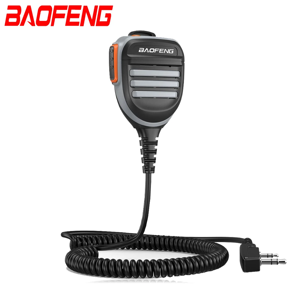
Двухстороннее радио Baofeng UV-5R BF-888S BAOFENG PTT дистанционный водонепроницаемый иди и болтай walkie talkie динамик микрофон
5,67 $ - 8,20 $
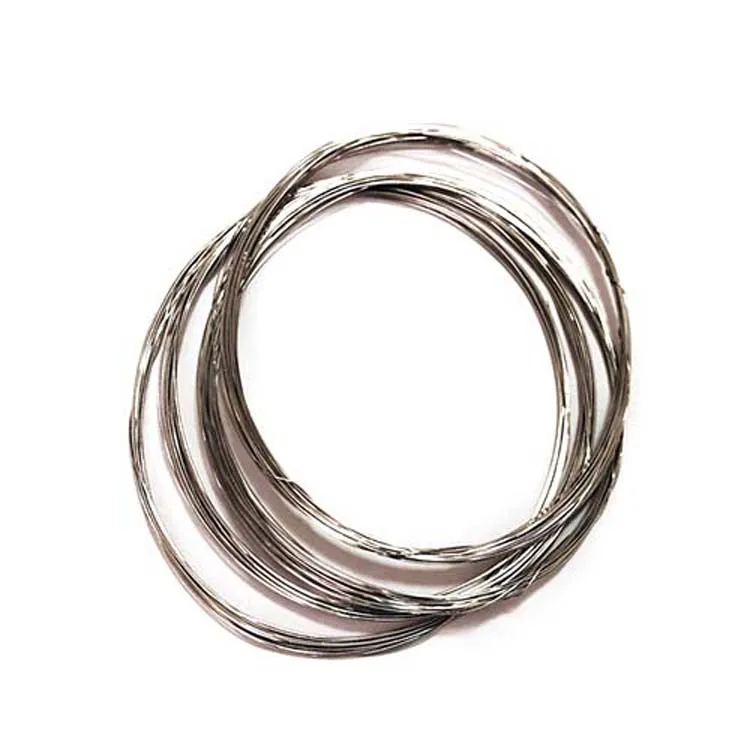
Высокое качество ASTM F136 Dia 0,8 мм титановая проволока Gr2 цена за кг для медицинских
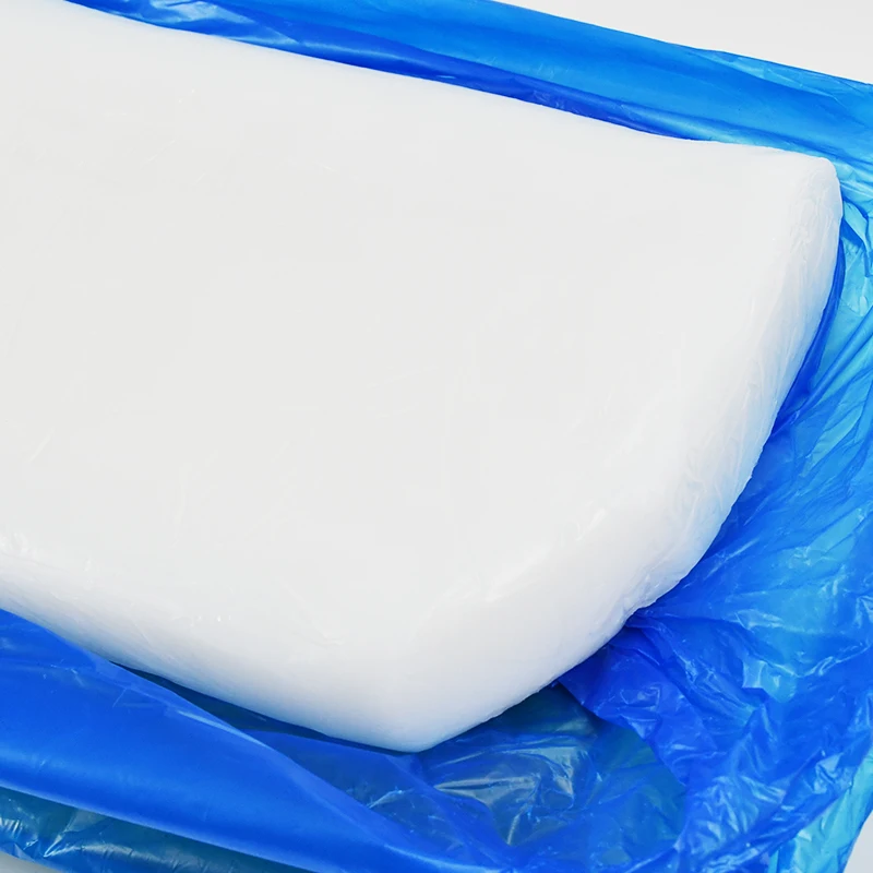
Пользовательские высокое качество прозрачный Платиновый отверждение белого силиконового каучука
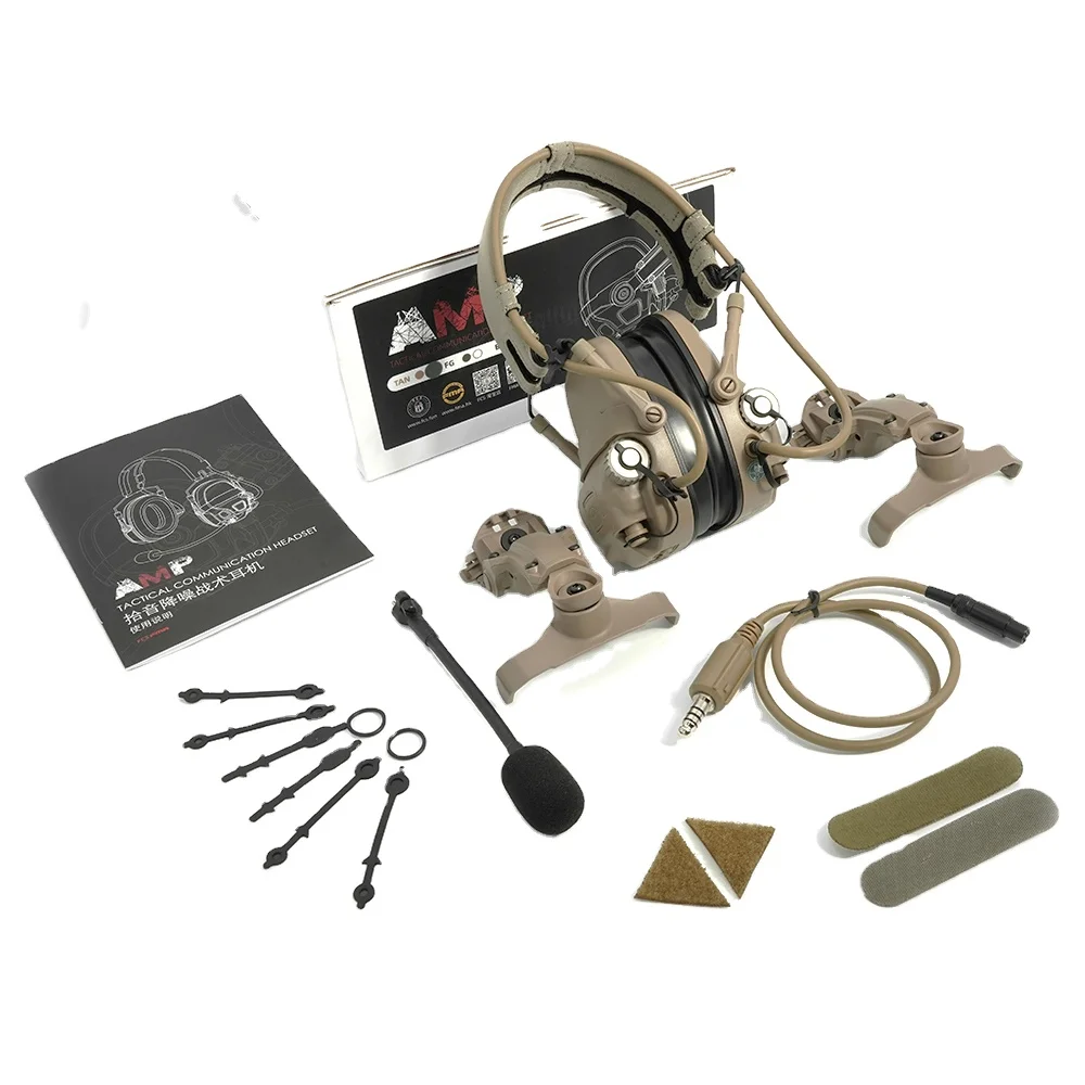
Полная цифровая двойная DPS FCS-тактическая FMA AMP тактическая гарнитура с микрофоном связь шумоподавление V60 PTT соединение
145,00 $ - 160,00 $
Крупнейший производитель TCEP в восточном Китае, огнезащитный Трис 2-хлорэтилфосфат TCEP
0,75 $ - 1,25 $
OEM-пакет из крафт-бумаги с индивидуальным принтом в коробке слюнявчик 3 л 10 5 горячая Распродажа кофе мешочным
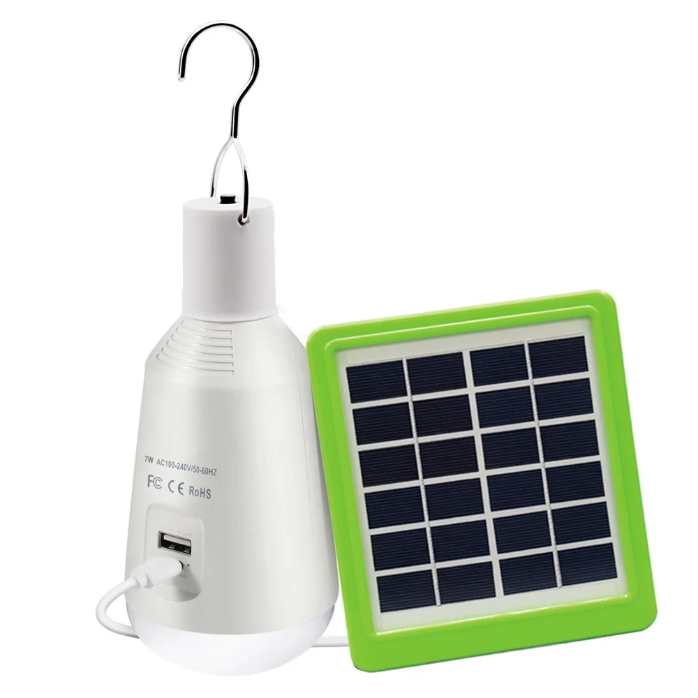
Подвесной фонарь для палатки, лампа с солнечной панелью, 7 Вт, зарядка от USB, для кемпинга, пешего туризма, альпинизма
7,23 $ - 7,35 $
Новые поступления
Новинки товаров от производителей по оптовым ценам
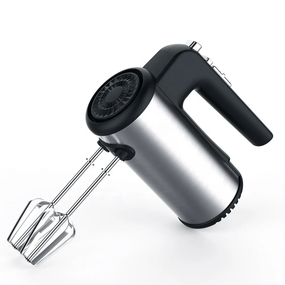
300 Вт безопасный для посудомоечной машины 5-скоростной турбо с крючками для теста, венчик, электрический ручной миксер
571,11-666,30 ₽
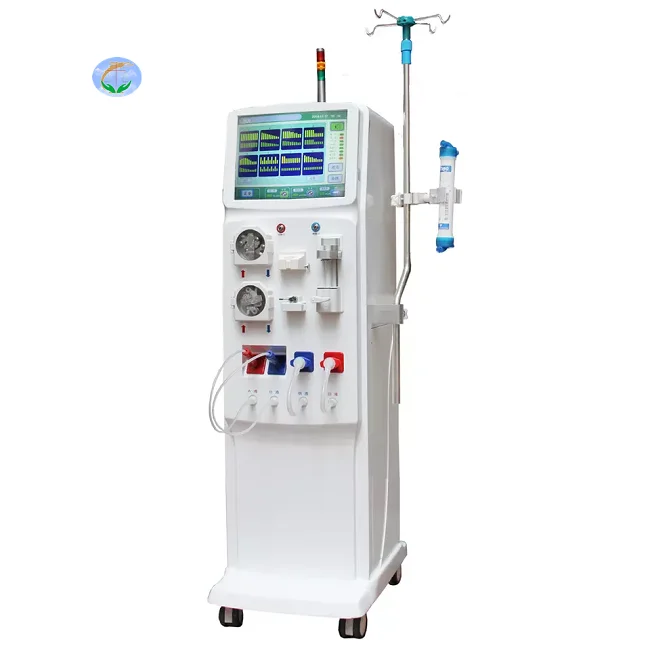
Медицинский портативный прибор для гемодиализа катетер и кровообращения диализа почек ухода за здоровьем
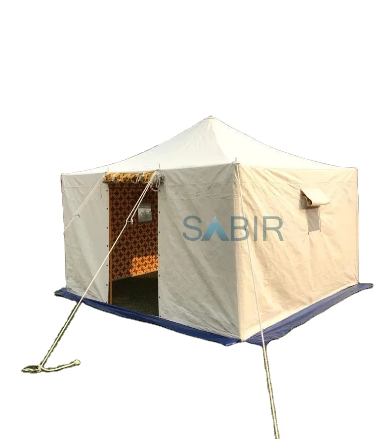
Многофункциональная роскошная водонепроницаемая палатка из брезента для кемпинга однокомнатная всесезонная с настраиваемым размером новый стиль рынка Ближнего Востока
45 688,76-56 159,10 ₽

Санитарно-гигиеническое сиденье для
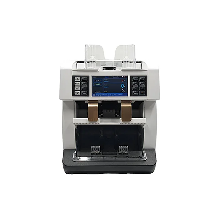
Счетчик купюр с низким уровнем шума на тонкопленочных транзисторах, автоматическое определение разных валют, 4,2 дюйма
50 448-52 351,70 ₽
Ожерелье из нержавеющей стали изящное ожерелье с чакрами на заказ модное позолоченное ювелирное изделие водонепроницаемой подвеской без
121,84-217,03 ₽
Мужские спортивные кроссовки с логотипом
856,67-999,45 ₽
OEM ODM, настоящее изобретение, персонализированный прямой автоматический открытый пользовательский логотип, рекламный зонт для гольфа с логотипом для отелей
842,39-938,53 ₽