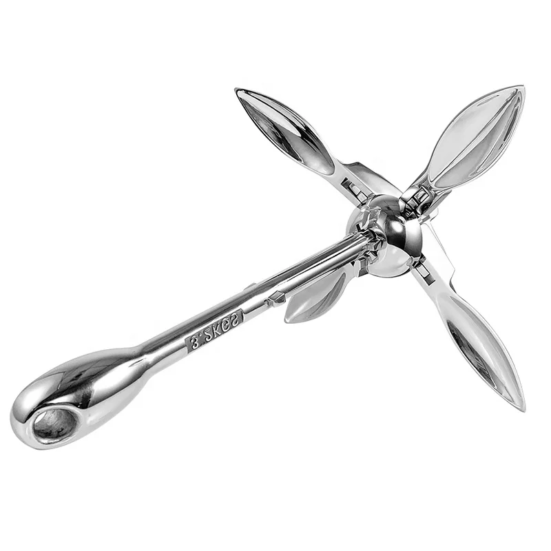
Складной якорь из нержавеющей стали 2023 зеркальный полированный спасательный лодочный резиновый для
16,66 $ - 21,49 $
Сохранить в закладки 60725138619:
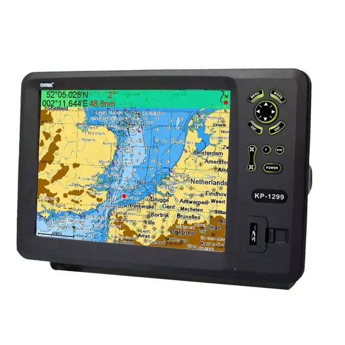
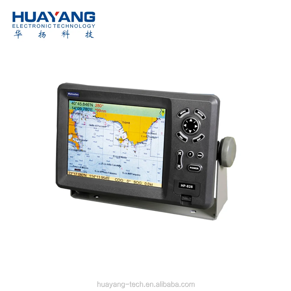
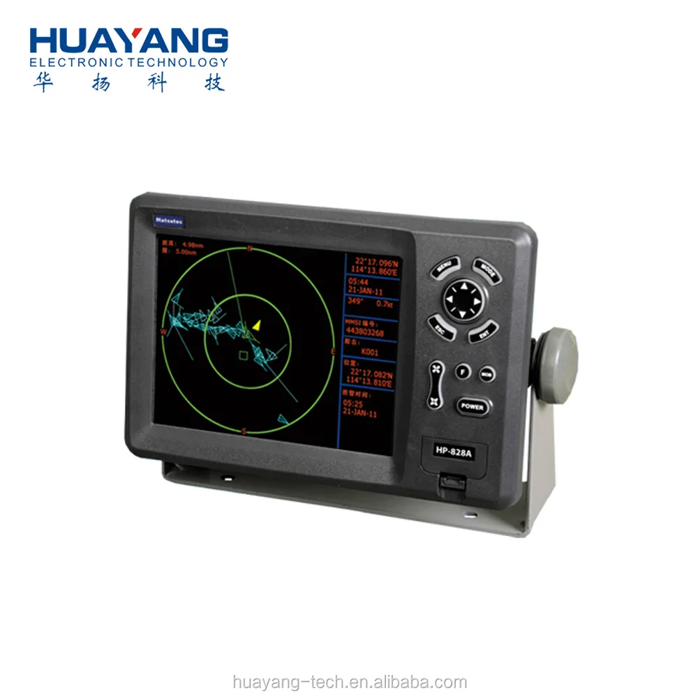
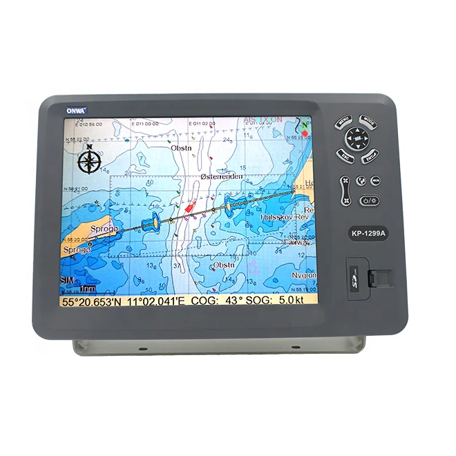
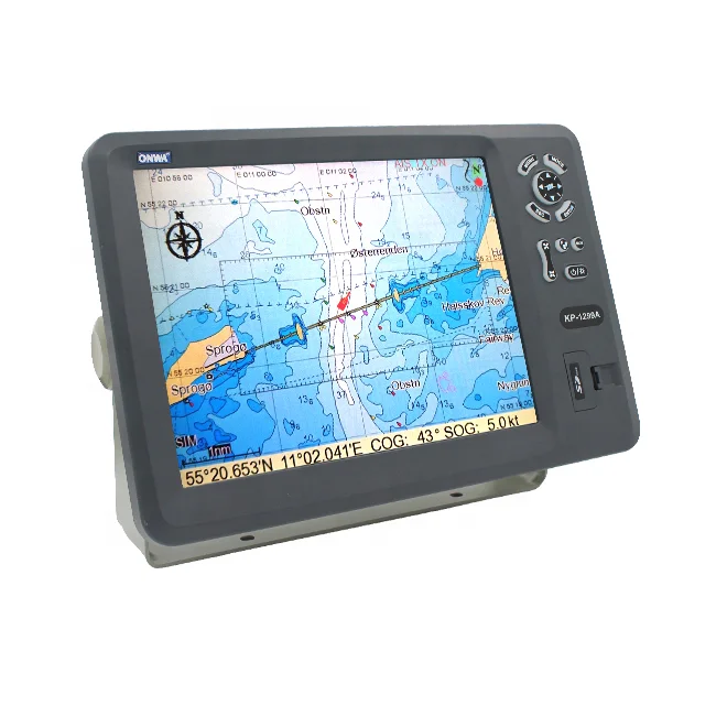
High quality Marine GPS chart plotter, Marine GPS plotter, GPS chart plotter, chart plotter, marine GPS, marine plotter
Matsutec
12" Color LCD Marine GPS chart plotter
Model: HP-1228
FEATURE:
1. High resolution TFT day-view LCD display
2. SD-cards slot for C-map Max and user data
3. C-map Max and K-chart Selectable
4. Tide table
5. Versatile display modes including:
- Plotter Screen
- Nav Data
- Satellite Information
- AIS Display
- Compass Screen
6. GOTO Track Navigation
7. Map Orientation Select
8. Proximity waypoint alarms
9. Perspective View
10. Palette
- Normal
- Daylight - Exposed to Sunlight
- Night - In Dark Environment
- NOAA - Paper Chart Colors
- Celestial
SPECIFICATIONS
Plotter Characteristics
1. Waypoints/Icons: 14,000 waypoints with name, symbol, 10 proximity waypoint.
2. Route Memory: waypoint up to 169 points each, plus MOB and Track Navigator or Goto track modes
3. Tracks: 21,000 point automatic track log; 10 saved track (up to 2100 track points each) let you retrace your path in both derections
4. Alarm: XTE, Anchor Drag, Arrival, Speed, Voltage, Proximity, Waypoint and Time, AIS alarm.
5. PALLETE
- Normal
- Daylight: Exposed to sunlight
- Night: In dark environment
- NOAA: Paper chart color
6. Tides: Tide Data
7. Projection: Mercator projection
8. Position format: Lat/Lon
9. Base Map: Built-in ONWA K-Chart
10. External Map: SD cards slot for user settings
11. User data storage: Internal backup of user settings, or external SD-card
12. Plot Interval: 1s to 99h or 0.01nm to 9.99nm
13. 0.01nm to 1,000nm
14. Nav Data Input/Output:
- Input:
$--DBT, $--DPT, $--GGA, $--GLL, $--MTW, $--RMA, $--RMB, $--RMC, $--VHW, $--VTG, $--ZDA
- Output:
$--AAM, $--APB, $--BOD, $--BWC, $--GGA, $--GLL, $--RMB, $--RMC, $--VTG, $--XTE, $--ZDA, $--WPL, $--HDG
- Output for autopilot:
$--AAM, $--APB, $--BOD, $--VTG
15. PERSPECTIVE VIEW: On/off
GPS Receiver Characteristics
1. Receiver: 50 parallel channel GPS receiver continuously Tracks and uses up to 50 satellites to compute and update your position
2. Acquisition: Cold start: 27 seconds average
Warm start: 27 seconds average
Hot start: 1 seconds average
3. Update rate: 1/second, continuous
4. Accuracy: Position: <2.5 meters(95%) without S/A
Velocity: 0.1 meter/sec without S/A
Time: ±100ns synchronized to GPS time
5. Dynamics: Altitude: 50,000m Max
Velocity: 500 m/s
Acceleration: 4g Max
6. Datum: WGS 84 & Others
7. Interface: NMEA 0183 Input , RS232 output
8. Antenna: HA-017
AIS Interface
Power Supply: 10.5 to 35VDC, current drain < 1200mA at 12V
Physical
1. Size: 363.8mm(H) × 267.9mm(W) × 106mm(D)
2. Weight: 3.95kg
3. Display: 8-inches color TFT day-view LCD, 800 x 600 pixels
4. Waterproofing: Display unit: IPX5; Antenna unit: IPX6
5. Temperature: -15°C to + 55°C (Display unit); -25°C to + 70°C (GPS antenna)
Equipment List (Standard)
- Display unit
- Antenna unit with 10m cable
- Operator manual
- Installation materials and Standard spare parts


Новинки товаров от производителей по оптовым ценам