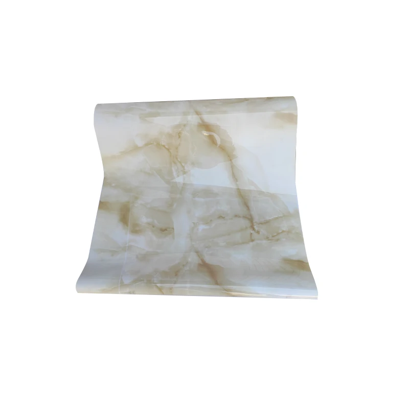
Горячая Распродажа, ПВХ пленка, ламинированная скатерть, рулон, цена, лазерная печать, ПВХ мраморный лист, водонепроницаемая ПВХ мягкая стеклянная скатерть
1,30 $ - 1,60 $
Сохранить в закладки 62436451214:
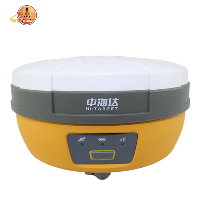
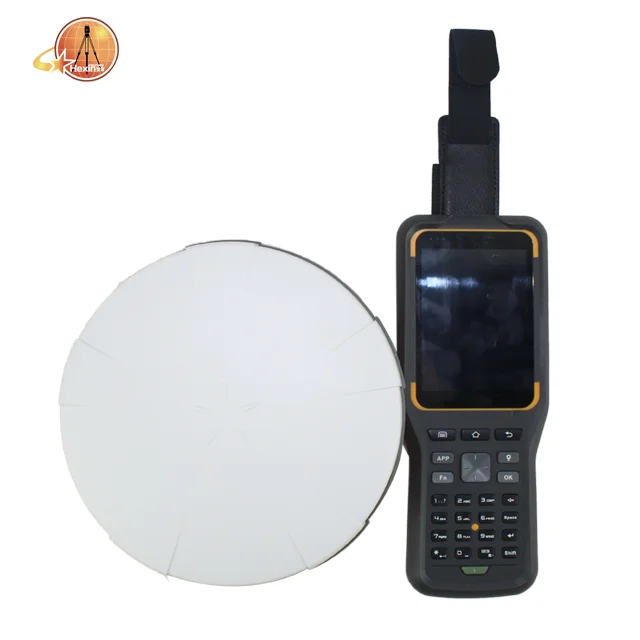
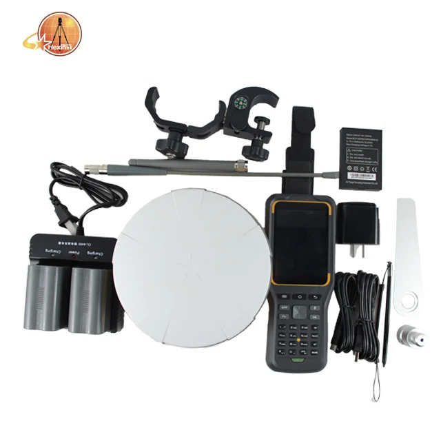
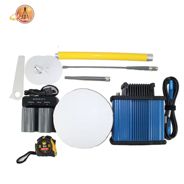
V30 PLUS GNSS GPS RTK SYSTEM
With its built-in multi-constellation GNSS engine, smaller dimension, and industrial-grade compact design, V30Plus provides a fexible GNSS work solution. It also integrates with the WebUI, WIFI, Bluetooth and 4G module to make data management and transmission more convenient and faster. Accompanied by Hi-Target professional feld surveying software and its up-to-10-hours working time, V30Plus meets users’ needs of efcient and convenient surveying experience.

Product Features
Smart application
Built-in Linux system and 8G storage.
Intelligent management of the static data.
Intelligent voice assistant to guide feld operations.
Standard Rinex data and Hi-Target raw data recorded simultaneously.
Full-frequency air antenna
Stable and better noise resistance full-wave GNSS antenna.
Supports a wide range of satellite tracking signals.
Reduce the multipath efect infuence.


Multi-constellation GNSS engine
440 tracking channels, extendable to 600.
Auto-selection satellite constellations.
Provides reliable results in harsh environments with its unique GNSSpositioning algorithm.
Data communication
Compatible with other vendors’communication protocols.
Long transmission distance, and good electromagnetic compatibility.
Perfectly compatible with a variety of CORS systems.
WebUI
Intelligent query device information.
Intelligent management of the device status automatically.
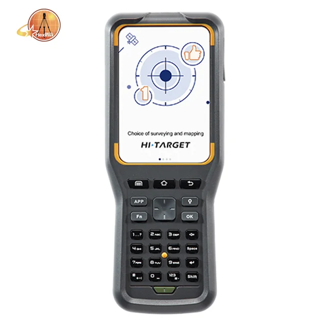
iHand30
Professional Field Controller
The iHand30 is a rugged feld controller that is designed for data collection and GNSS device control. Based on the Android
operating system, it is compatible with Hi-Target professional software and third-party Android software. Combining the
physical keyboard with a touchscreen, it can boost efcient feldwork and provide reliable solutions for users.
KEY FEATURES
| Hardware Configuration | OS: Android 6.0 Processer: 1.5GHz, 4 core Storage: RAM 2G, ROM 16GB (up to 32GB extension Micro-SD) Display: 3.7’’, 640 x 480, sunlight readable Camera: 8MP, tag available Sensors: G-sensor, E-compass, barometer, light-feld sensor, gyro |
| Communication | Cellular mode: Dual SIM card, dual stand-by Cellular network: 4G TDD-LTE, FDD-LTE, WCDMA, GPRS Wi-Fi: IEEE 802.11b/g/n, 2.4GHz/5GHz Bluetooth: V2.0/4.0 USB: Type-C, supports OTG NFC | |
| Physical | Weight: 440g(within battery) Size: 208mm*83mm*24mm Temperature: -20℃ ~ +60℃(Operating); -30℃~ +70℃(Storage) Free-fall: 1.2m Water/Dustpoof: IP67 | |
| GNSS Features | GNSS: GPS, GLONASS, AGPS, 20 channels Update rate: 1Hz | |
| Power Supply | Battery: Removable 3.7V lithium battery, 5200mAh Duration: 15 hours |
Survey Data Collection Software
Hi-Survey Road is an Android software that is designed for all types of land survey and road engineering projects in the feld. It is compatible with Hi-Target professional controllers, Android phones, tablets and other third-party Android devices. It is a sleek and easy-to-use software that supports the operating of big data with built-in tools. With customized industrial application solutions, more possibilities are created for users.
KEY FEATURES

Various algorithms to achieve high accuracy in corresponding measuring circumstances with a better reliability.
Express interacting functions to greatly improve the work efficiency.
Integrated professional measurement functions for engineering application.


| model | V30 PLUS | |
| Gnss | Channel | 440 |
Satellite Tracked | GPS | |
| L1, L2C/L2P, L5 | ||
| GLONASS | ||
| L1C/L1P, L2C/L2P | ||
| GELILEO | ||
| Reserved | ||
| BEIDOU | ||
| Bl, B2, B3 | ||
| SBAS : | ||
Reserved | ||
POSITIONING PERFORMANCE | ||
Static Accuracy | ||
| Horizon: | ±(2.5+0.5×10⁻⁶D)mm | |
| Vertical: | ±(5+0.5×10⁻⁶D)mm | |
| RTK Accuracy | ||
| Horizon: | ±(8+1×10⁻⁶D)mm | |
| Vertical: | ±(15+1×10⁻⁶D)mm | |
Network RTK | ||
| Horizon: | ±(8+1×10⁻⁶D)mm | |
| Vertical: | ±(15+1×10⁻⁶D)mm | |
| Initialization time | Typically 2-10s | |
| Initialization reliability | Typically > 99.9% | |
Internal Battery | ||
Battery | 5000mAh lithium-ion rechargeable and removable battery | |
Working time | RTK Rover (UHF/Cellular) for 10 hours | |
Communication | ||
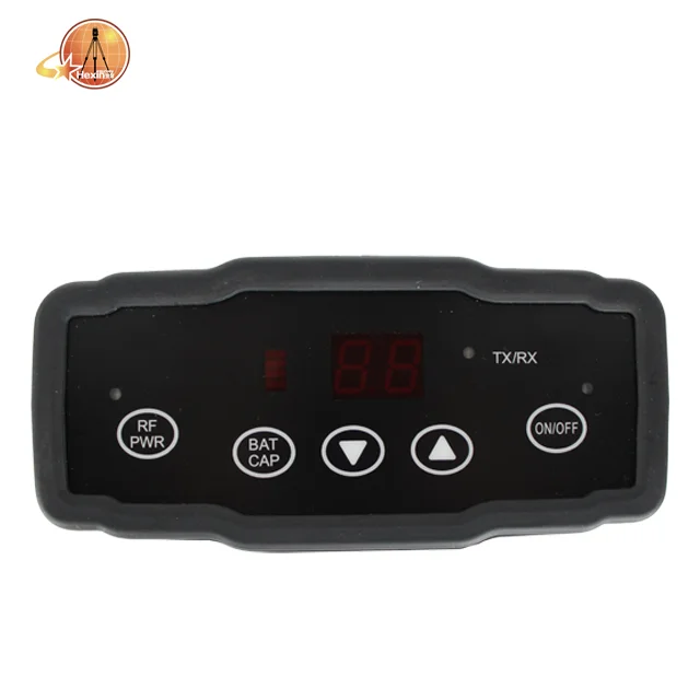
Frequency | 403-473MHz | |
Transmitting power | 1W/2W/4W adjustable Supports multiple protocols: HI-TARGET, TRIMTALK450S, TRIMMARK III,TRANSEOT, SATEL-3AS, etc. | |
Working Range | 3-5km typical, 5-8km optima | |
Bluetooth | 4.0/2.1+EDR, 2.4GHz | |
| 4G | cellular mobile network (TDD-LTE, FDD-LTE, WCDMA, EDGE, GPRS, GSM) Wi-Fi frequency 2.4GHz, supports 802.11b/g/n protocol | |
Physical | ||
Dimensions | 164mm×83.5mm | |
Weight | ≤1.4kg (includes battery) | |
Interface | ||
| I/O Interface | 1 × Mini USB port | |
1 × TNC antenna connector | ||
1 × DC power input (5-pin) | ||
1 × SIM card slo | ||
| Control Panel | ||
| Physical button | 1 | |
LED lamp | Satellite, Signal, Power | |
We accept payment by TT,Paypal, West union,and Escrow.
If you'd like other payment method, Pls let us know before the order

With 8 years' experience in geodetic surveying and cadastration surveying, we are a professional and leading enterprise in the surveying industry in Mainland China. We specialize in the R&D and manufacturing and sales of all kinds of surveying products, including total station, electronic theodolite, electronic distance meter, automatic level, laser level, reflector prism, surveying accessory, GPS receiver, mapping software, etc. The marketing model advocated by us is not a simple sense of "selling products", instead, pre-sales service, services during operation and after-sales service are integrated in entire operating activities. It makes the customers feel that they purchased not only a commodity, but also a professional service.
We welcome new and old customers from all walks of life to contact us for future business relationships and achieving mutual success!

Q:How to turn off voice broadcast of receiver?
A:a. Enter the WEBUI, find the voice switch in the settings page and turn it off.
b. Controller Software→Device→Device Setting, turn off the “enable voice”, and click “OK”.
Q:Can the base station and rover station be interchangeable?
A:The difference between the rover station and the base station is that the accessories are different, the function and hardware configuration are the same. You can use the controller to choose the working mode of the device and set it as the base station or rover station.
Q:What is CORS?
A:CORS is called a continuous operating reference station system. It can be understood as a base station that is erected at a fixed known point and works continuously for 24 hours, and sends its own data to a specific serverthrough the network. The use of CORS operation eliminates the need for a base station, and CORS is equivalent to a base station in a normalnetwork operation.

Новинки товаров от производителей по оптовым ценам